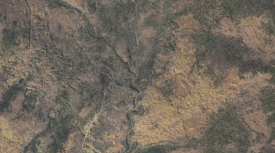
Davis Brook is a stream in Carroll County, New Hampshire, located about 23.8 miles west-southwest of Chapman Inn in Bethel, Maine. It appears on the USGS Jackson topographic…
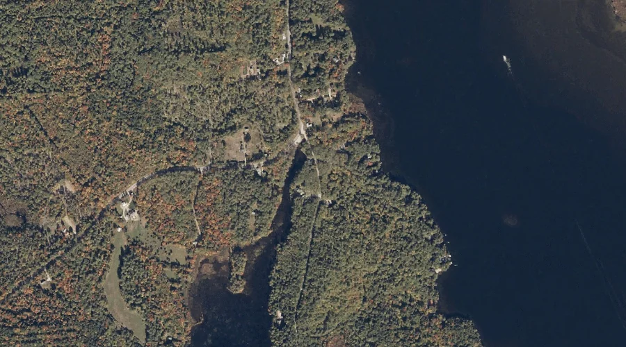
Upper Kimball Lake is a reservoir in Carroll County, New Hampshire, located about 23.9 miles south-southwest of Chapman Inn in Bethel, Maine. It appears on the USGS North…
South Doublehead is a summit in Carroll County, New Hampshire, located about 23.9 miles southwest of Chapman Inn in Bethel, Maine. It appears on the USGS Jackson topographic…
The Twins is a summit in Carroll County, New Hampshire, located about 23.6 miles southwest of Chapman Inn in Bethel, Maine. It appears on the USGS Chatham topographic…
Peaked Hill is a summit in Carroll County, New Hampshire, located about 23.7 miles south-southwest of Chapman Inn in Bethel, Maine. It appears on the USGS North Conway…
Slippery Brook is a stream in Carroll County, New Hampshire, located about 23.3 miles southwest of Chapman Inn in Bethel, Maine. It appears on the USGS Chatham topographic…
North Doublehead is a summit in Carroll County, New Hampshire, located about 23.5 miles southwest of Chapman Inn in Bethel, Maine. It appears on the USGS Jackson topographic…
Mack Hill is a summit in Carroll County, New Hampshire, located about 23.5 miles south-southwest of Chapman Inn in Bethel, Maine. It appears on the USGS North Conway…
Mountain Shaw is a summit in Carroll County, New Hampshire, located about 23.1 miles southwest of Chapman Inn in Bethel, Maine. It appears on the USGS Chatham topographic…
Walter Mountain is a summit in Carroll County, New Hampshire, located about 22.9 miles southwest of Chapman Inn in Bethel, Maine. It appears on the USGS Chatham topographic…