Stone Hill is a summit in Oxford County, Maine, located about 22.2 miles east-southeast of Chapman Inn in Bethel, Maine. It appears on the USGS Oxford topographic quadrangle.
Sugar Mountain is a summit in Coos County, New Hampshire, located about 22.2 miles west of Chapman Inn in Bethel, Maine. It appears on the USGS Berlin topographic…
Ingalls Hill is a summit in Cumberland County, Maine, located about 22.0 miles south of Chapman Inn in Bethel, Maine. It appears on the USGS Pleasant Mountain topographic…
Burnt Hill is a summit in Oxford County, Maine, located about 22.1 miles east-northeast of Chapman Inn in Bethel, Maine. It appears on the USGS East Dixfield topographic…
Old Turk Mountain is a summit in Oxford County, Maine, located about 22.1 miles north-northeast of Chapman Inn in Bethel, Maine. It appears on the USGS Ellis Pond…
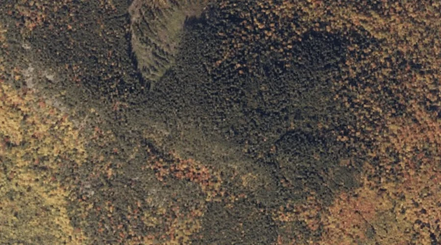
Mount Marie is a summit in Oxford County, Maine, located about 22.1 miles southeast of Chapman Inn in Bethel, Maine. It appears on the USGS Oxford topographic quadrangle.
Thorne Mountain is a summit in Oxford County, Maine, located about 22.1 miles east of Chapman Inn in Bethel, Maine. It appears on the USGS Canton topographic quadrangle.
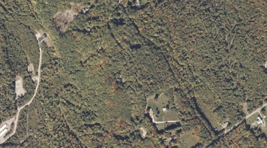
Town Farm Hill is a summit in Cumberland County, Maine, located about 22.1 miles south-southeast of Chapman Inn in Bethel, Maine. It appears on the USGS Bridgton topographic…
Jericho Mountain is a summit in Coos County, New Hampshire, located about 21.8 miles west-northwest of Chapman Inn in Bethel, Maine. It appears on the USGS Berlin topographic…
Little Singepole Mountain is a summit in Oxford County, Maine, located about 21.9 miles southeast of Chapman Inn in Bethel, Maine. It appears on the USGS Oxford topographic…