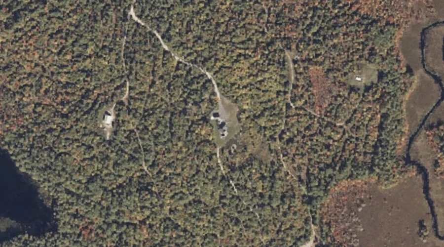
Mariner Mountain is a summit in Cumberland County, Maine, located about 35.4 miles south of Chapman Inn in Bethel, Maine. It appears on the USGS North Sebago topographic…
Perry Mountain is a summit in Franklin County, Maine, located about 35.4 miles north-northeast of Chapman Inn in Bethel, Maine. It appears on the USGS Saddleback Mountain topographic…
Ledge Hill is a summit in Cumberland County, Maine, located about 35.4 miles south-southeast of Chapman Inn in Bethel, Maine. It appears on the USGS Raymond topographic quadrangle.
Philip Mountain is a summit in Cumberland County, Maine, located about 35.4 miles south of Chapman Inn in Bethel, Maine. It appears on the USGS North Sebago topographic…
Porter Hill is a summit in Franklin County, Maine, located about 35.2 miles northeast of Chapman Inn in Bethel, Maine. It appears on the USGS Farmington topographic quadrangle.
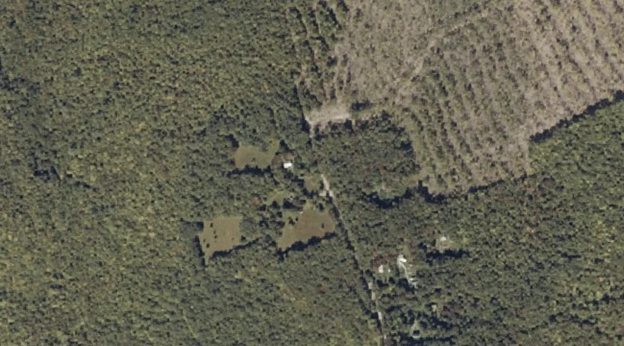
Manter Hill is a summit in Kennebec County, Maine, located about 35.2 miles east of Chapman Inn in Bethel, Maine. It appears on the USGS Fayette topographic quadrangle.
White Mountain is a summit in Cumberland County, Maine, located about 35.2 miles south of Chapman Inn in Bethel, Maine. It appears on the USGS North Sebago topographic…
Rowe Hill is a summit in Franklin County, Maine, located about 35.2 miles north-northeast of Chapman Inn in Bethel, Maine. It appears on the USGS Madrid topographic quadrangle.
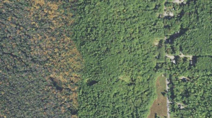
Spruce Hill is a summit in Carroll County, New Hampshire, located about 35.2 miles southwest of Chapman Inn in Bethel, Maine. It appears on the USGS North Conway…
Tasker Hill is a summit in Carroll County, New Hampshire, located about 35.2 miles south-southwest of Chapman Inn in Bethel, Maine. It appears on the USGS Conway topographic…