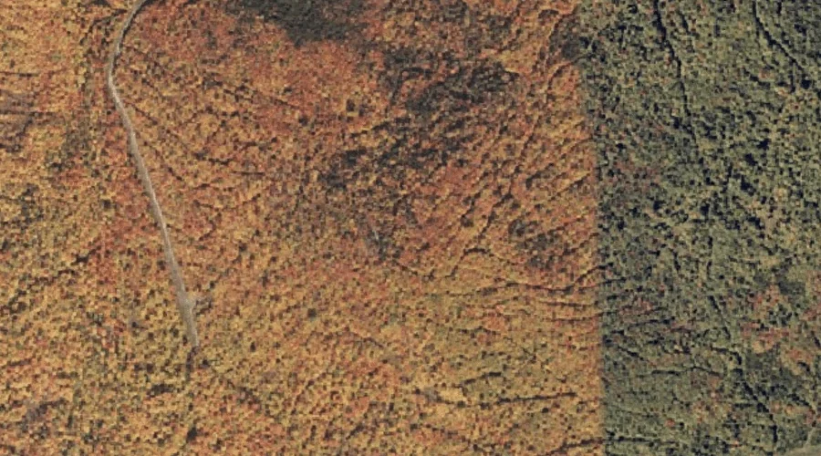
Danforth Hill is a summit in Kennebec County, Maine, located about 42.3 miles east-southeast of Chapman Inn in Bethel, Maine. It appears on the USGS Monmouth topographic quadrangle.
York Hill is a summit in Franklin County, Maine, located about 42.3 miles east-northeast of Chapman Inn in Bethel, Maine. It appears on the USGS Belgrade Lakes topographic…
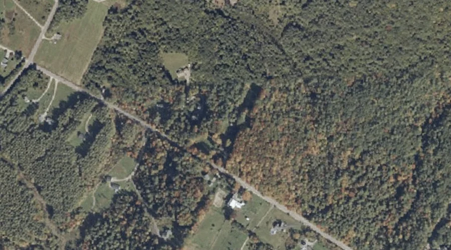
West Peak is a summit in Coos County, New Hampshire, located about 42.3 miles northwest of Chapman Inn in Bethel, Maine. It appears on the USGS Bunnell Mountain…
Howland Hill is a summit in Coos County, New Hampshire, located about 42.2 miles west of Chapman Inn in Bethel, Maine. It appears on the USGS Bethlehem topographic…
Mecham Hill is a summit in Franklin County, Maine, located about 42.2 miles north-northeast of Chapman Inn in Bethel, Maine. It appears on the USGS Redington topographic quadrangle.
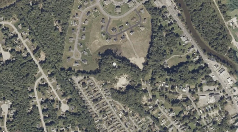
Whites Hill is a summit in Androscoggin County, Maine, located about 42.2 miles southeast of Chapman Inn in Bethel, Maine. It appears on the USGS Lisbon Falls North…
Bowie Hill is a summit in Androscoggin County, Maine, located about 42.2 miles southeast of Chapman Inn in Bethel, Maine. It appears on the USGS North Pownal topographic…
Crystal Mountain is a summit in Coos County, New Hampshire, located about 42.2 miles north-northwest of Chapman Inn in Bethel, Maine. It appears on the USGS Mount Pisgah…
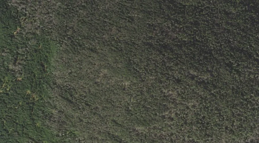
Castle Mountain is a summit in Coos County, New Hampshire, located about 41.9 miles northwest of Chapman Inn in Bethel, Maine. It appears on the USGS Bunnell Mountain…
Gore Mountain is a summit in Coos County, New Hampshire, located about 41.9 miles northwest of Chapman Inn in Bethel, Maine. It appears on the USGS Bunnell Mountain…