Griffin Mountain is a summit in Franklin County, Maine, located about 43.4 miles northeast of Chapman Inn in Bethel, Maine. It appears on the USGS New Vineyard topographic…
New Vineyard Mountains is a summit in Franklin County, Maine, located about 43.4 miles northeast of Chapman Inn in Bethel, Maine. It rises to 597 feet above sea…
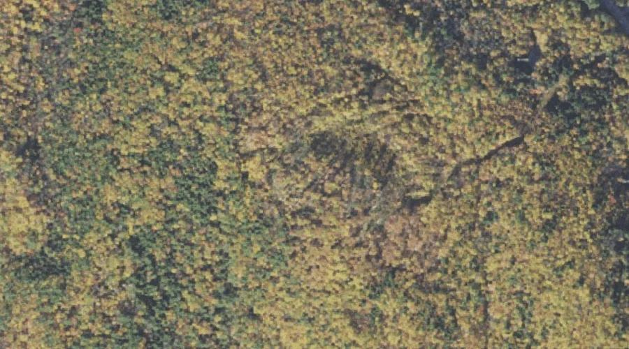
Bannock Mountain is a summit in Franklin County, Maine, located about 43.3 miles east-northeast of Chapman Inn in Bethel, Maine. It appears on the USGS New Sharon topographic…
Hibbard Mountain is a summit in Grafton County, New Hampshire, located about 43.4 miles southwest of Chapman Inn in Bethel, Maine. It appears on the USGS Mount Chocorua…
Ryan Hill is a summit in Carroll County, New Hampshire, located about 43.2 miles south-southwest of Chapman Inn in Bethel, Maine. It appears on the USGS Ossipee Lake…
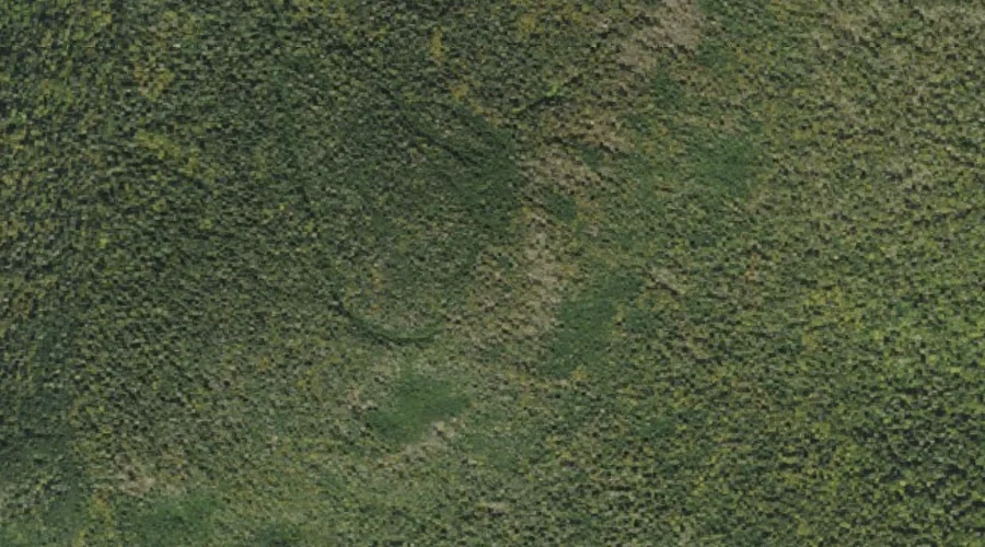
Bunnell Mountain is a summit in Coos County, New Hampshire, located about 43.2 miles northwest of Chapman Inn in Bethel, Maine. It appears on the USGS Bunnell Mountain…
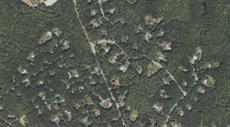
Whites Hill is a summit in Cumberland County, Maine, located about 43.2 miles south-southeast of Chapman Inn in Bethel, Maine. It appears on the USGS North Windham topographic…
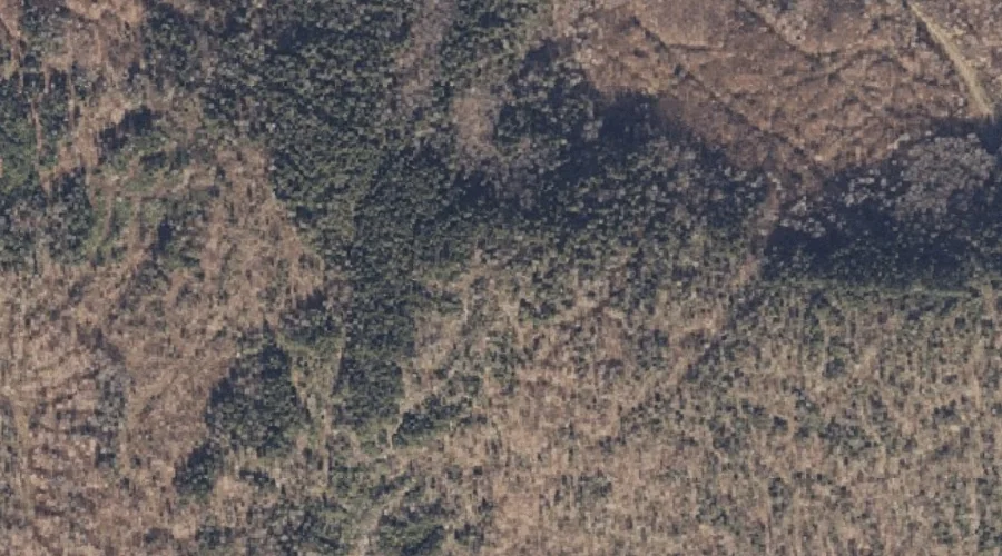
Parker Hill is a summit in Oxford County, Maine, located about 43.3 miles north-northwest of Chapman Inn in Bethel, Maine. It appears on the USGS Bosebuck Mountain topographic…
Mount Garfield is a summit in Grafton County, New Hampshire, located about 43.3 miles west-southwest of Chapman Inn in Bethel, Maine. It appears on the USGS South Twin…
Allen Pinnacle is a summit in Franklin County, Maine, located about 43.0 miles northeast of Chapman Inn in Bethel, Maine. It appears on the USGS Strong topographic quadrangle.