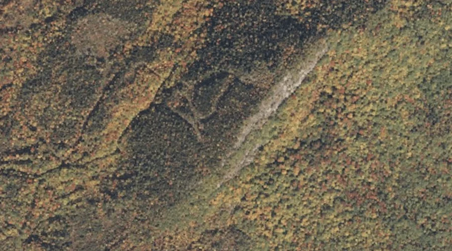
Caribou Mountain is a summit in Oxford County, Maine, located about 8.3 miles west-southwest of Chapman Inn in Bethel, Maine. It appears on the USGS Speckled Mountain topographic…
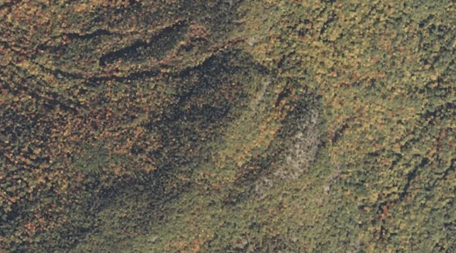
Miles Knob is a summit in Oxford County, Maine, located about 8.5 miles south-southwest of Chapman Inn in Bethel, Maine. It appears on the USGS Speckled Mountain topographic…
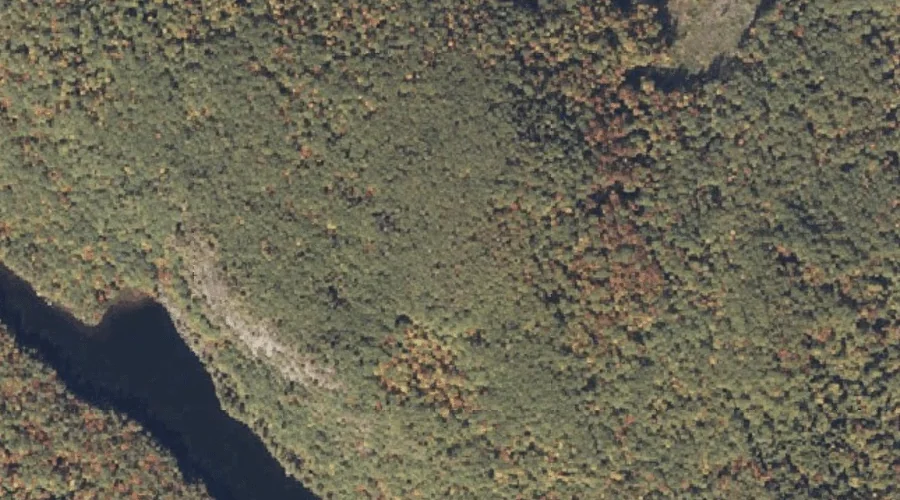
Parsonage Hill is a summit in Oxford County, Maine, located about 7.4 miles south of Chapman Inn in Bethel, Maine. It appears on the USGS East Stoneham topographic…
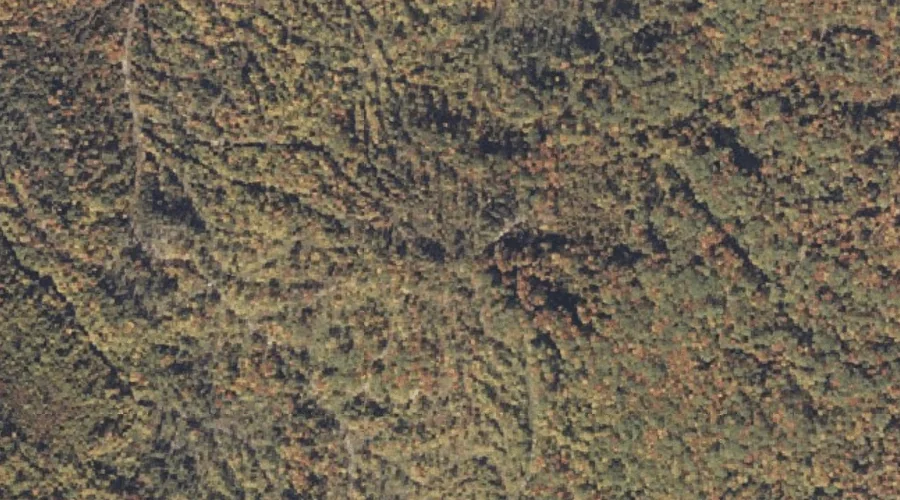
Bald Bluff is a summit in Oxford County, Maine, located about 7.4 miles southeast of Chapman Inn in Bethel, Maine. It appears on the USGS Greenwood topographic quadrangle.
Little Bear Mountain is a summit in Oxford County, Maine, located about 7.5 miles west of Chapman Inn in Bethel, Maine. It appears on the USGS Gilead topographic…
Tumbledown Dick Mountain is a summit in Oxford County, Maine, located about 7.6 miles west of Chapman Inn in Bethel, Maine. It appears on the USGS Gilead topographic…
Albany Mountain is a summit in Oxford County, Maine, located about 7.6 miles south-southwest of Chapman Inn in Bethel, Maine. It appears on the USGS East Stoneham topographic…
Oversett Mountain is a summit in Oxford County, Maine, located about 7.6 miles southeast of Chapman Inn in Bethel, Maine. It appears on the USGS Greenwood topographic quadrangle.
Jordan Mountain is a summit in Oxford County, Maine, located about 7.6 miles northwest of Chapman Inn in Bethel, Maine. It appears on the USGS Gilead topographic quadrangle.
Barkers High Ledge is a summit in Oxford County, Maine, located about 7.8 miles east-northeast of Chapman Inn in Bethel, Maine. It appears on the USGS Bryant Pond…