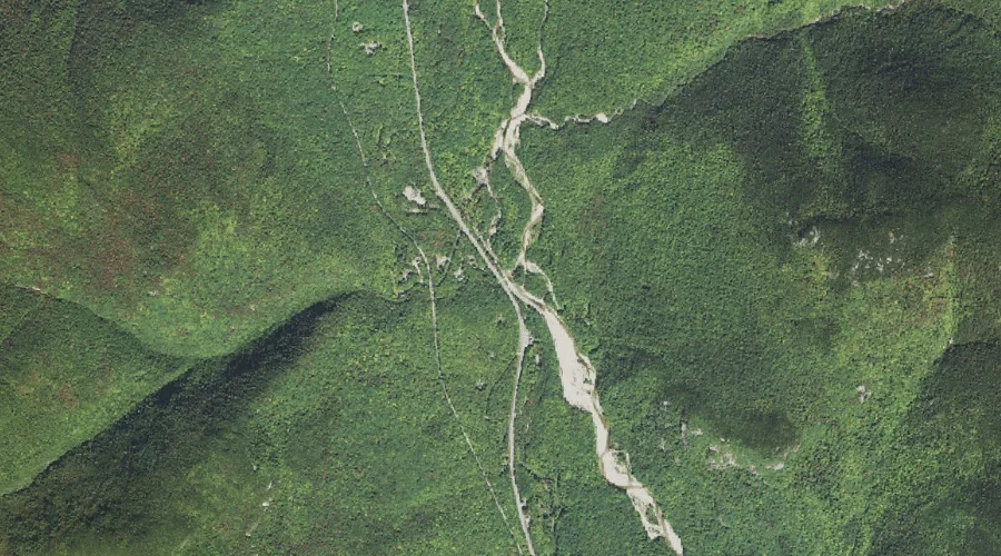
Bemis Brook is a stream in Carroll County, New Hampshire, located about 33.8 miles west-southwest of Chapman Inn in Bethel, Maine. It appears on the USGS Stairs Mountain…
Davis Brook is a stream in Carroll County, New Hampshire, located about 33.8 miles west-southwest of Chapman Inn in Bethel, Maine. It appears on the USGS Stairs Mountain…
Hill Brook is a stream in Cumberland County, Maine, located about 33.9 miles south of Chapman Inn in Bethel, Maine. It appears on the USGS North Sebago topographic…
Mill Brook is a stream in Coos County, New Hampshire, located about 33.6 miles west-northwest of Chapman Inn in Bethel, Maine. It appears on the USGS Stark topographic…
Sleeper Brook is a stream in Carroll County, New Hampshire, located about 33.6 miles west-southwest of Chapman Inn in Bethel, Maine. It appears on the USGS Stairs Mountain…
Henry Mitchell Brook is a stream in Franklin County, Maine, located about 33.7 miles northeast of Chapman Inn in Bethel, Maine. It appears on the USGS Farmington topographic…
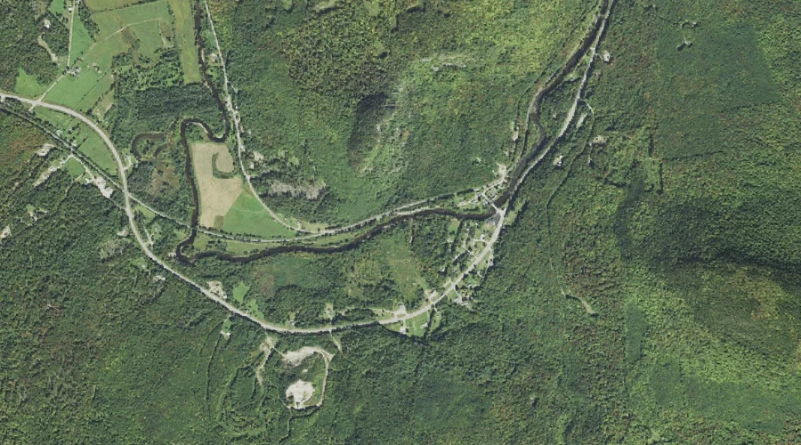
Red Brook is a stream in Coos County, New Hampshire, located about 33.7 miles west of Chapman Inn in Bethel, Maine. It appears on the USGS Jefferson topographic…
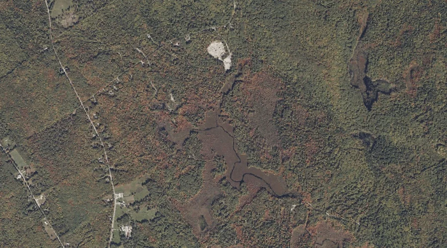
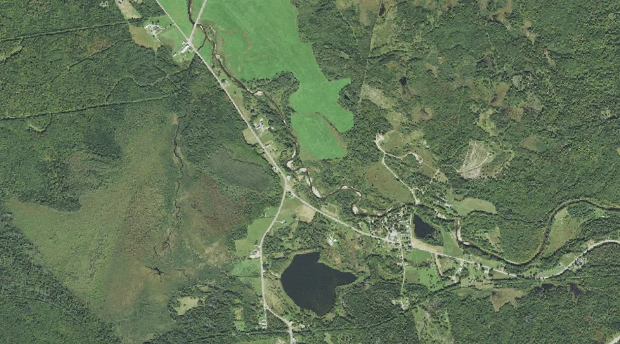
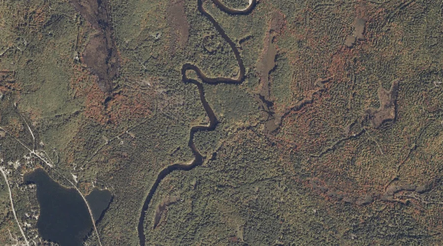
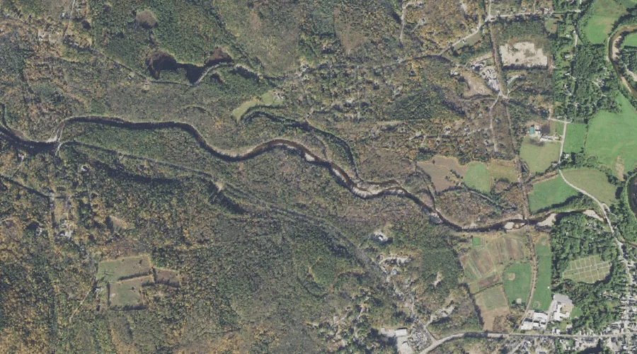
Dragon Meadow Brook is a stream in Oxford County, Maine, located about 33.7 miles south of Chapman Inn in Bethel, Maine. It appears on the USGS Hiram topographic…
Mountain Pond Stream is a stream in Franklin County, Maine, located about 33.7 miles north of Chapman Inn in Bethel, Maine. It appears on the USGS Rangeley topographic…
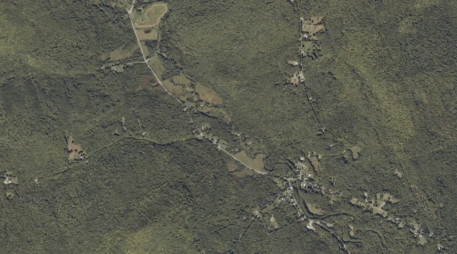
Red Eagle Brook is a stream in Carroll County, New Hampshire, located about 33.7 miles south-southwest of Chapman Inn in Bethel, Maine. It appears on the USGS Silver…