Wilson Brook is a stream in Cumberland County, Maine, located about 34.0 miles southeast of Chapman Inn in Bethel, Maine. It appears on the USGS Mechanic Falls topographic…
Mill Brook is a stream in Coos County, New Hampshire, located about 34.1 miles west of Chapman Inn in Bethel, Maine. It appears on the USGS Jefferson topographic…
Page Randall Brook is a stream in Carroll County, New Hampshire, located about 34.1 miles south-southwest of Chapman Inn in Bethel, Maine. It appears on the USGS Conway…
Chandler Mill Stream is a stream in Franklin County, Maine, located about 34.1 miles north-northeast of Chapman Inn in Bethel, Maine. It appears on the USGS Jackson Mountain…
Dry Brook is a stream in Carroll County, New Hampshire, located about 34.1 miles south-southwest of Chapman Inn in Bethel, Maine. It appears on the USGS Silver Lake…
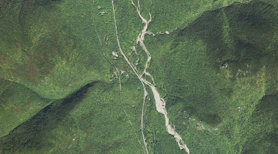
Bemis Brook is a stream in Carroll County, New Hampshire, located about 33.8 miles west-southwest of Chapman Inn in Bethel, Maine. It appears on the USGS Stairs Mountain…
Davis Brook is a stream in Carroll County, New Hampshire, located about 33.8 miles west-southwest of Chapman Inn in Bethel, Maine. It appears on the USGS Stairs Mountain…
Hill Brook is a stream in Cumberland County, Maine, located about 33.9 miles south of Chapman Inn in Bethel, Maine. It appears on the USGS North Sebago topographic…
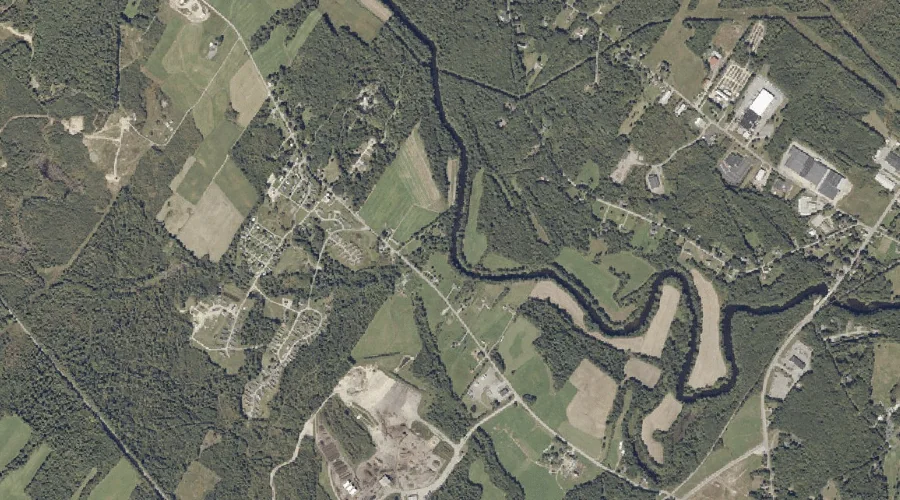
Davis Brook is a stream in Androscoggin County, Maine, located about 33.9 miles southeast of Chapman Inn in Bethel, Maine. It appears on the USGS Minot topographic quadrangle.
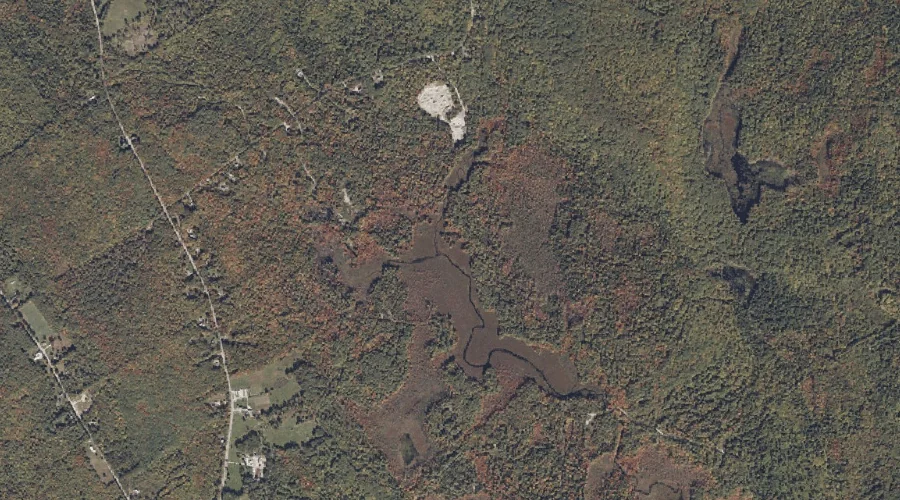
Albany Brook is a stream in Carroll County, New Hampshire, located about 33.9 miles southwest of Chapman Inn in Bethel, Maine. It appears on the USGS Bartlett topographic…