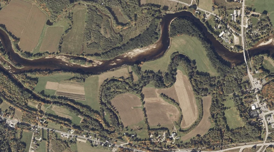
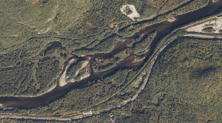
Shelter Island is a island in Oxford County, Maine, located about 36.6 miles north of Chapman Inn in Bethel, Maine. It appears on the USGS Oquossoc topographic quadrangle.
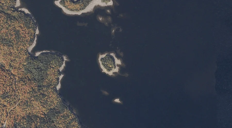
Spider Island is a island in Cumberland County, Maine, located about 36.4 miles south-southeast of Chapman Inn in Bethel, Maine. It appears on the USGS Naples topographic quadrangle.
Ring Island is a island in Cumberland County, Maine, located about 36.1 miles south-southeast of Chapman Inn in Bethel, Maine. It appears on the USGS Naples topographic quadrangle.
Farrington Island is a island in Oxford County, Maine, located about 36.2 miles north of Chapman Inn in Bethel, Maine. It appears on the USGS Oquossoc topographic quadrangle.
Sheep Island is a island in Cumberland County, Maine, located about 35.9 miles south-southeast of Chapman Inn in Bethel, Maine. It appears on the USGS Naples topographic quadrangle.
Birch Island is a island in Cumberland County, Maine, located about 36.1 miles south-southeast of Chapman Inn in Bethel, Maine. It appears on the USGS Naples topographic quadrangle.
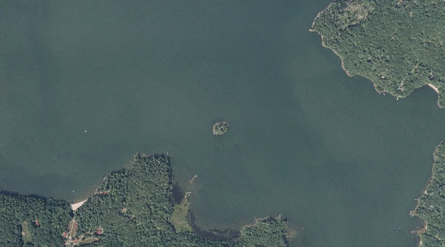
Blodgett Island is a island in Kennebec County, Maine, located about 35.8 miles east of Chapman Inn in Bethel, Maine. It appears on the USGS Wayne topographic quadrangle.
Lpon Island is a island in Cumberland County, Maine, located about 35.8 miles south-southeast of Chapman Inn in Bethel, Maine. It appears on the USGS Naples topographic quadrangle.
Outer Island is a island in Cumberland County, Maine, located about 35.6 miles south-southeast of Chapman Inn in Bethel, Maine. It appears on the USGS Naples topographic quadrangle.
Norris Island is a island in Kennebec County, Maine, located about 35.2 miles east of Chapman Inn in Bethel, Maine. It appears on the USGS Wayne topographic quadrangle.