 Aerial imagery: USGS National Map (public domain)
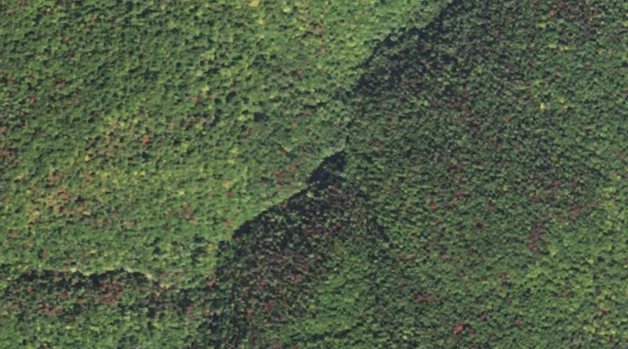
Ripley Falls — Waterfalls 34.2 Miles WSW of Chapman Inn
Carroll County, New Hampshire · USGS Crawford Notch Quadrangle · GNIS 872572
Catalogued on the USGS Crawford Notch quadrangle in Carroll County, New Hampshire, Ripley Falls — a waterfall — lies 34.2 miles west-southwest of Chapman Inn.
Landmark Profile
Classification & USGS reference
Catalogued under GNIS Feature ID 872572, Ripley Falls is recorded as a waterfall on the USGS Crawford Notch quadrangle in Carroll County, New Hampshire (FIPS 33/003). Catalogued in GNIS since 08/27/1980.
Coordinates & physical setting
Ripley Falls sits at 44.16229° N, 71.39230° W (DMS 44°09′44″ N, 71°23′32″ W).
As a linear feature its source lies near 0.00000° N, 0.00000° W — useful for anglers and paddlers tracing the upstream end.
Features on the USGS Crawford Notch Quadrangle
The Crawford Notch 7.5-minute topographic quadrangle holds 41 catalogued natural features alongside Ripley Falls. A sampling nearest to this location:
| Feature | Type | County | Offset |
|---|---|---|---|
| Avalanche Brook | Streams | Grafton County, NH | 0.7 mi |
| Crawford Notch | Valleys | Carroll County, NH | 0.9 mi |
| Kedron Brook | Streams | Carroll County, NH | 0.9 mi |
| Webster Brook | Streams | Carroll County, NH | 1.1 mi |
| Arethusa Falls | Waterfalls | Grafton County, NH | 1.1 mi |
| Mount Willey | Summits | Grafton County, NH | 2 mi |
| Ethan Pond | Lakes | Grafton County, NH | 2.1 mi |
| Mount Webster | Summits | Coos County, NH | 2.3 mi |
| Mount Bemis | Summits | Grafton County, NH | 2.4 mi |
| Willey Brook | Streams | Grafton County, NH | 2.5 mi |
Visiting from Chapman Inn
Distance, bearing & drive time
A 59-minute drive along back roads separates the front door of Chapman Inn from Ripley Falls — 34.2 miles west-southwest as the crow flies, on compass bearing WSW.
Best time to visit
Peak flow runs mid-April through June after snowmelt; late summer can be thin or dry. At this latitude (44.162°), the shoulder seasons are workable — April and November can be comfortable on mild years. At 34.2 miles from the Inn, block the full day — sunrise start, late return, packed meals. Conditions at Ripley Falls track the nearby Avalanche Brook stream (0.7 mi away) closely — if that is runnable, so is this.
Nearest features to Ripley Falls
| Feature | Type | County | Distance |
|---|---|---|---|
| Avalanche Brook | Streams | Grafton County, NH | 0.7 mi |
| Crawford Notch | Valleys | Carroll County, NH | 0.9 mi |
| Kedron Brook | Streams | Carroll County, NH | 0.9 mi |
| Webster Brook | Streams | Carroll County, NH | 1.1 mi |
| Arethusa Falls | Waterfalls | Grafton County, NH | 1.1 mi |
Frequently Asked Questions
Where is Ripley Falls located?
Ripley Falls is in Carroll County, New Hampshire, approximately 34.2 miles west-southwest of Chapman Inn in Bethel, Maine. It appears on the USGS Crawford Notch topographic quadrangle.
How far is Ripley Falls from Chapman Inn?
The drive runs about 59 minutes, 34.2 miles west-southwest (bearing WSW) of the Inn.
What type of natural feature is Ripley Falls?
The U.S. Geological Survey classifies Ripley Falls as a waterfall, catalogued under GNIS Feature ID 872572 on the Crawford Notch quadrangle.
When is the best time to visit Ripley Falls?
Peak flow runs mid-April through June after snowmelt; late summer can be thin or dry.