 Aerial imagery: USGS National Map (public domain)
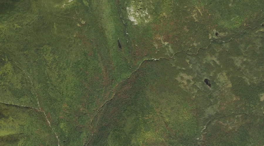
Zealand Notch — Valleys 37.9 Miles WSW of Chapman Inn
Grafton County, New Hampshire · USGS Crawford Notch Quadrangle · GNIS 872973
37.9 miles west-southwest of Chapman Inn, on the USGS Crawford Notch topographic quadrangle, Zealand Notch is a valley recorded in Grafton County, New Hampshire by the federal Geographic Names Information System.
Landmark Profile
Classification & USGS reference
The USGS Crawford Notch 7.5-minute topographic quadrangle places Zealand Notch in Grafton County, New Hampshire (FIPS 33/009), classified as a valley in the federal GNIS (Feature ID 872973). Last revised by the Board on Geographic Names on 08/01/2018.
Coordinates & physical setting
Zealand Notch sits at 44.16647° N, 71.47908° W (DMS 44°09′59″ N, 71°28′45″ W).
Features on the USGS Crawford Notch Quadrangle
The Crawford Notch 7.5-minute topographic quadrangle holds 41 catalogued natural features alongside Zealand Notch. A sampling nearest to this location:
| Feature | Type | County | Offset |
|---|---|---|---|
| Whitewall Brook | Streams | Grafton County, NH | 0 mi |
| Thoreau Falls | Waterfalls | Grafton County, NH | 0.2 mi |
| Shoal Pond | Lakes | Grafton County, NH | 1.1 mi |
| Whitewall Mount | Summits | Grafton County, NH | 1.2 mi |
| Jumping Brook | Streams | Grafton County, NH | 1.5 mi |
| Zealand Pond | Lakes | Grafton County, NH | 2.2 mi |
| Zealand Falls | Waterfalls | Grafton County, NH | 2.3 mi |
| Ethan Pond | Lakes | Grafton County, NH | 2.6 mi |
| Mount Field | Summits | Grafton County, NH | 3.1 mi |
| Mount Willey | Summits | Grafton County, NH | 3.1 mi |
Visiting from Chapman Inn
Distance, bearing & drive time
Chapman Inn sits 37.9 miles west-southwest (bearing WSW) of Zealand Notch. At moderate back-road speeds the drive runs about 65 minutes — comfortably inside a half-day outing window after breakfast.
Best time to visit
Late May through October; avoid black-fly peak in late May. At this latitude (44.166°), the shoulder seasons are workable — April and November can be comfortable on mild years. At 37.9 miles from the Inn, block the full day — sunrise start, late return, packed meals. Conditions at Zealand Notch track the nearby Whitewall Brook stream (essentially adjacent) closely — if that is runnable, so is this.
Nearest features to Zealand Notch
| Feature | Type | County | Distance |
|---|---|---|---|
| Whitewall Brook | Streams | Grafton County, NH | 0 mi |
| Thoreau Falls | Waterfalls | Grafton County, NH | 0.2 mi |
| Shoal Pond | Lakes | Grafton County, NH | 1.1 mi |
| Whitewall Mount | Summits | Grafton County, NH | 1.2 mi |
| Jumping Brook | Streams | Grafton County, NH | 1.5 mi |
Frequently Asked Questions
Where is Zealand Notch located?
Zealand Notch is in Grafton County, New Hampshire, approximately 37.9 miles west-southwest of Chapman Inn in Bethel, Maine. It appears on the USGS Crawford Notch topographic quadrangle.
How far is Zealand Notch from Chapman Inn?
The drive runs about 65 minutes, 37.9 miles west-southwest (bearing WSW) of the Inn.
What type of natural feature is Zealand Notch?
The U.S. Geological Survey classifies Zealand Notch as a valley, catalogued under GNIS Feature ID 872973 on the Crawford Notch quadrangle.
When is the best time to visit Zealand Notch?
Late May through October; avoid black-fly peak in late May.