 Aerial imagery: USGS National Map (public domain)
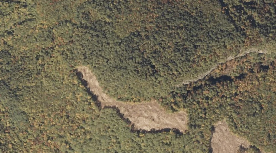
Square Dock Mountain — Summits 8.1 Miles S of Chapman Inn
Oxford County, Maine · USGS East Stoneham Quadrangle · GNIS 581218
Catalogued on the USGS East Stoneham quadrangle in Oxford County, Maine, Square Dock Mountain — a summit — lies 8.1 miles south of Chapman Inn.
Wikidata short description: “mountain in United States of America”
Landmark Profile
Classification & USGS reference
Catalogued under GNIS Feature ID 581218, Square Dock Mountain is recorded as a summit on the USGS East Stoneham quadrangle in Oxford County, Maine (FIPS 23/017). Last revised by the Board on Geographic Names on 12/01/2018.
Coordinates & physical setting
Square Dock Mountain sits at 44.28844° N, 70.79768° W (DMS 44°17′18″ N, 70°47′52″ W).
Other summits in Oxford County, Maine
Oxford County, ME contains 438 summits catalogued in the USGS Geographic Names Information System, counting Square Dock Mountain itself. The ones closest to Square Dock Mountain:
| Feature | USGS Quadrangle | Elevation | Distance |
|---|---|---|---|
| Bell Mountain | East Stoneham | — | 1.3 mi |
| Rattlesnake Mountain | East Stoneham | — | 1.5 mi |
| Parsonage Hill | East Stoneham | — | 1.9 mi |
| Albany Mountain | East Stoneham | — | 2.1 mi |
| Flints Mountain | East Stoneham | — | 2.4 mi |
| French Hill | East Stoneham | — | 2.4 mi |
| Patte Hill | East Stoneham | — | 2.6 mi |
| Pine Mountain | East Stoneham | — | 2.8 mi |
| Sawin Hill | East Stoneham | — | 3 mi |
| Peter Mountain | East Stoneham | — | 3.1 mi |
Features on the USGS East Stoneham Quadrangle
The East Stoneham 7.5-minute topographic quadrangle holds 49 catalogued natural features alongside Square Dock Mountain. A sampling nearest to this location:
| Feature | Type | County | Offset |
|---|---|---|---|
| Mosquito Pond | Lakes | Oxford County, ME | 0.7 mi |
| Kneeland Pond | Lakes | Oxford County, ME | 0.8 mi |
| Round Pond | Lakes | Oxford County, ME | 1.2 mi |
| Barkers Brook | Streams | Oxford County, ME | 1.3 mi |
| Bell Mountain | Summits | Oxford County, ME | 1.3 mi |
| Flints Brook | Streams | Oxford County, ME | 1.4 mi |
| Rattlesnake Mountain | Summits | Oxford County, ME | 1.5 mi |
| Broken Bridge Pond | Lakes | Oxford County, ME | 1.8 mi |
| Little Papoose Pond | Lakes | Oxford County, ME | 1.9 mi |
| Crocker Pond | Lakes | Oxford County, ME | 1.9 mi |
Visiting from Chapman Inn
Distance, bearing & drive time
A 14-minute drive along back roads separates the front door of Chapman Inn from Square Dock Mountain — 8.1 miles south as the crow flies, on compass bearing S.
Best time to visit
Accessible May through November in most years. At this latitude (44.288°), the shoulder seasons are workable — April and November can be comfortable on mild years. The 8.1-mile drive from Chapman Inn makes it practical for a half-day outing — you can check conditions in the morning and still turn back if the weather closes in. Conditions at Square Dock Mountain track the nearby Mosquito Pond lake (0.7 mi away) closely — if that is runnable, so is this.
Nearest features to Square Dock Mountain
| Feature | Type | County | Distance |
|---|---|---|---|
| Mosquito Pond | Lakes | Oxford County, ME | 0.7 mi |
| Kneeland Pond | Lakes | Oxford County, ME | 0.8 mi |
| Round Pond | Lakes | Oxford County, ME | 1.2 mi |
| Barkers Brook | Streams | Oxford County, ME | 1.3 mi |
| Bell Mountain | Summits | Oxford County, ME | 1.3 mi |
Frequently Asked Questions
Where is Square Dock Mountain located?
Square Dock Mountain is in Oxford County, Maine, approximately 8.1 miles south of Chapman Inn in Bethel, Maine. It appears on the USGS East Stoneham topographic quadrangle.
How far is Square Dock Mountain from Chapman Inn?
The drive runs about 14 minutes, 8.1 miles south (bearing S) of the Inn.
What type of natural feature is Square Dock Mountain?
The U.S. Geological Survey classifies Square Dock Mountain as a summit, catalogued under GNIS Feature ID 581218 on the East Stoneham quadrangle.
When is the best time to visit Square Dock Mountain?
Accessible May through November in most years.
How many other summits are in Oxford County, Maine?
GNIS lists 437 other summits in Oxford County, Maine.
Wikidata: Q33149122.