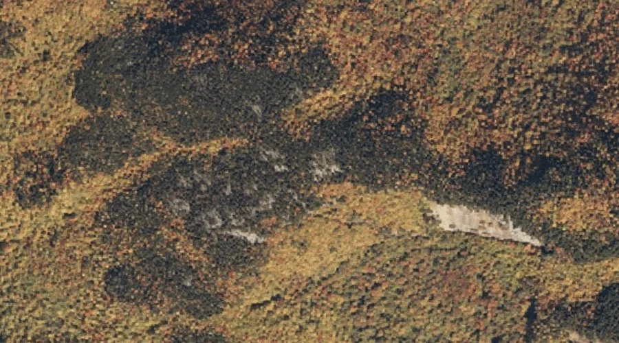
 Aerial imagery: USGS National Map (public domain)
Red Rock Mountain — Summits 8.5 Miles SW of Chapman Inn
Oxford County, Maine · USGS Speckled Mountain Quadrangle · GNIS 581190
8.5 miles southwest of Chapman Inn, on the USGS Speckled Mountain topographic quadrangle, Red Rock Mountain is a summit recorded in Oxford County, Maine by the federal Geographic Names Information System.
Wikidata short description: “mountain in United States of America”
Landmark Profile
Classification & USGS reference
The USGS Speckled Mountain 7.5-minute topographic quadrangle places Red Rock Mountain in Oxford County, Maine (FIPS 23/017), classified as a summit in the federal GNIS (Feature ID 581190). Last revised by the Board on Geographic Names on 12/05/2018.
Coordinates & physical setting
Red Rock Mountain sits at 44.30950° N, 70.89832° W (DMS 44°18′34″ N, 70°53′54″ W).
Other summits in Oxford County, Maine
Oxford County, ME contains 438 summits catalogued in the USGS Geographic Names Information System, counting Red Rock Mountain itself. The ones closest to Red Rock Mountain:
| Feature | USGS Quadrangle | Elevation | Distance |
|---|---|---|---|
| Butters Mountain | Speckled Mountain | — | 0.9 mi |
| Miles Knob | Speckled Mountain | — | 0.9 mi |
| Durgin Mountain | Speckled Mountain | — | 2.1 mi |
| Isaiah Mountain | Speckled Mountain | — | 2.2 mi |
| Peter Mountain | East Stoneham | — | 2.2 mi |
| Haystack Mountain | Speckled Mountain | — | 2.3 mi |
| Farwell Mountain | East Stoneham | — | 2.5 mi |
| Pine Mountain | East Stoneham | — | 2.6 mi |
| Caribou Mountain | Speckled Mountain | — | 2.7 mi |
| Bad Mountain | East Stoneham | — | 2.9 mi |
Features on the USGS Speckled Mountain Quadrangle
The Speckled Mountain 7.5-minute topographic quadrangle holds 37 catalogued natural features alongside Red Rock Mountain. A sampling nearest to this location:
| Feature | Type | County | Offset |
|---|---|---|---|
| Butters Mountain | Summits | Oxford County, ME | 0.9 mi |
| Miles Knob | Summits | Oxford County, ME | 0.9 mi |
| Miles Notch | Gaps | Oxford County, ME | 1 mi |
| Shirley Brook | Streams | Oxford County, ME | 1.2 mi |
| Red Rock Brook | Streams | Oxford County, ME | 1.6 mi |
| Haystack Notch | Gaps | Oxford County, ME | 2 mi |
| Durgin Mountain | Summits | Oxford County, ME | 2.1 mi |
| Isaiah Mountain | Summits | Oxford County, ME | 2.2 mi |
| Haystack Mountain | Summits | Oxford County, ME | 2.3 mi |
| Willard Brook | Streams | Oxford County, ME | 2.3 mi |
Visiting from Chapman Inn
Distance, bearing & drive time
Chapman Inn sits 8.5 miles southwest (bearing SW) of Red Rock Mountain. At moderate back-road speeds the drive runs about 15 minutes — comfortably inside a half-day outing window after breakfast.
Best time to visit
Accessible May through November in most years. At this latitude (44.310°), the shoulder seasons are workable — April and November can be comfortable on mild years. The 8.5-mile drive from Chapman Inn makes it practical for a half-day outing — you can check conditions in the morning and still turn back if the weather closes in. Conditions at Red Rock Mountain track the nearby Butters Mountain summit (0.9 mi away) closely — if that is runnable, so is this.
Nearest features to Red Rock Mountain
| Feature | Type | County | Distance |
|---|---|---|---|
| Butters Mountain | Summits | Oxford County, ME | 0.9 mi |
| Miles Knob | Summits | Oxford County, ME | 0.9 mi |
| Miles Notch | Gaps | Oxford County, ME | 1 mi |
| Shirley Brook | Streams | Oxford County, ME | 1.2 mi |
| Red Rock Brook | Streams | Oxford County, ME | 1.6 mi |
Frequently Asked Questions
Where is Red Rock Mountain located?
Red Rock Mountain is in Oxford County, Maine, approximately 8.5 miles southwest of Chapman Inn in Bethel, Maine. It appears on the USGS Speckled Mountain topographic quadrangle.
How far is Red Rock Mountain from Chapman Inn?
The drive runs about 15 minutes, 8.5 miles southwest (bearing SW) of the Inn.
What type of natural feature is Red Rock Mountain?
The U.S. Geological Survey classifies Red Rock Mountain as a summit, catalogued under GNIS Feature ID 581190 on the Speckled Mountain quadrangle.
When is the best time to visit Red Rock Mountain?
Accessible May through November in most years.
How many other summits are in Oxford County, Maine?
GNIS lists 437 other summits in Oxford County, Maine.
Wikidata: Q33145083.