 Aerial imagery: USGS National Map (public domain)
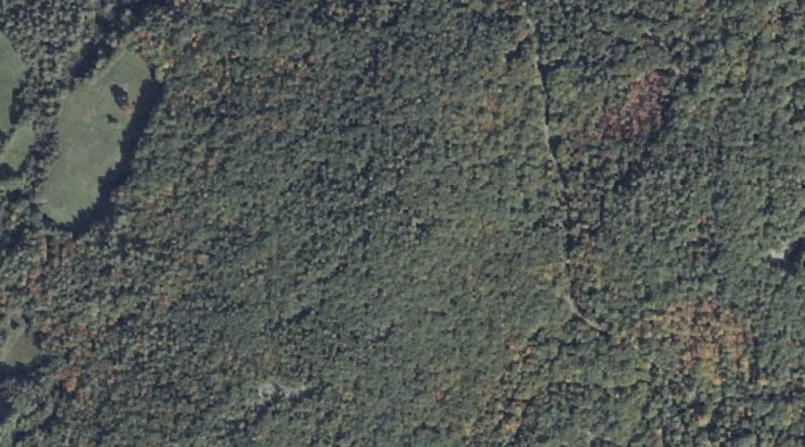
Pisgah Hill — Summits 43.5 Miles SE of Chapman Inn
Cumberland County, Maine · USGS North Pownal Quadrangle · GNIS 573448
Catalogued on the USGS North Pownal quadrangle in Cumberland County, Maine, Pisgah Hill — a summit — lies 43.5 miles southeast of Chapman Inn.
Wikidata short description: “mountain in United States of America”
Landmark Profile
Classification & USGS reference
Catalogued under GNIS Feature ID 573448, Pisgah Hill is recorded as a summit on the USGS North Pownal quadrangle in Cumberland County, Maine (FIPS 23/005). Last revised by the Board on Geographic Names on 07/16/2022.
Coordinates & physical setting
Pisgah Hill sits at 43.91721° N, 70.23452° W (DMS 43°55′02″ N, 70°14′04″ W).
Other summits in Cumberland County, Maine
Cumberland County, ME contains 108 summits catalogued in the USGS Geographic Names Information System, counting Pisgah Hill itself. The ones closest to Pisgah Hill:
| Feature | USGS Quadrangle | Elevation | Distance |
|---|---|---|---|
| Tryon Mountain | North Pownal | — | 2 mi |
| Marston Hill | North Pownal | — | 2.3 mi |
| Bradbury Mountain | North Pownal | — | 2.8 mi |
| Bibber Hill | North Pownal | — | 2.9 mi |
| Gloucester Hill | Gray | — | 3.9 mi |
| Wescutogo Hill | Yarmouth | — | 4.6 mi |
| Trues Hill | Yarmouth | — | 5.1 mi |
| Walnut Hill | Cumberland Center | — | 5.6 mi |
| Peacock Hill | Gray | — | 6.1 mi |
| Little Hill | Gray | — | 6.2 mi |
Features on the USGS North Pownal Quadrangle
The North Pownal 7.5-minute topographic quadrangle holds 16 catalogued natural features alongside Pisgah Hill. A sampling nearest to this location:
| Feature | Type | County | Offset |
|---|---|---|---|
| Tryon Mountain | Summits | Cumberland County, ME | 2 mi |
| Marston Hill | Summits | Cumberland County, ME | 2.3 mi |
| Thoits Branch | Streams | Cumberland County, ME | 2.7 mi |
| Bradbury Mountain | Summits | Cumberland County, ME | 2.8 mi |
| Bibber Hill | Summits | Cumberland County, ME | 2.9 mi |
| Runaround Pond | Reservoirs | Androscoggin County, ME | 3.7 mi |
| Alder Brook | Streams | Androscoggin County, ME | 3.8 mi |
| Runaround Brook | Streams | Cumberland County, ME | 3.8 mi |
| Libby Brook | Streams | Androscoggin County, ME | 3.9 mi |
| Talking Brook | Streams | Cumberland County, ME | 4 mi |
Visiting from Chapman Inn
Distance, bearing & drive time
A 75-minute drive along back roads separates the front door of Chapman Inn from Pisgah Hill — 43.5 miles southeast as the crow flies, on compass bearing SE.
Best time to visit
Accessible May through November in most years. At this latitude (43.917°), the shoulder seasons are workable — April and November can be comfortable on mild years. At 43.5 miles from the Inn, block the full day — sunrise start, late return, packed meals. Conditions at Pisgah Hill track the nearby Bear Brook stream (1.7 mi away) closely — if that is runnable, so is this.
Nearest features to Pisgah Hill
| Feature | Type | County | Distance |
|---|---|---|---|
| Bear Brook | Streams | Cumberland County, ME | 1.7 mi |
| Tryon Mountain | Summits | Cumberland County, ME | 2 mi |
| Marston Hill | Summits | Cumberland County, ME | 2.3 mi |
| Thoits Branch | Streams | Cumberland County, ME | 2.7 mi |
| Collyer Brook | Streams | Cumberland County, ME | 2.8 mi |
Frequently Asked Questions
Where is Pisgah Hill located?
Pisgah Hill is in Cumberland County, Maine, approximately 43.5 miles southeast of Chapman Inn in Bethel, Maine. It appears on the USGS North Pownal topographic quadrangle.
How far is Pisgah Hill from Chapman Inn?
The drive runs about 75 minutes, 43.5 miles southeast (bearing SE) of the Inn.
What type of natural feature is Pisgah Hill?
The U.S. Geological Survey classifies Pisgah Hill as a summit, catalogued under GNIS Feature ID 573448 on the North Pownal quadrangle.
When is the best time to visit Pisgah Hill?
Accessible May through November in most years.
How many other summits are in Cumberland County, Maine?
GNIS lists 107 other summits in Cumberland County, Maine.
Wikidata: Q33143833.