 Aerial imagery: USGS National Map (public domain)
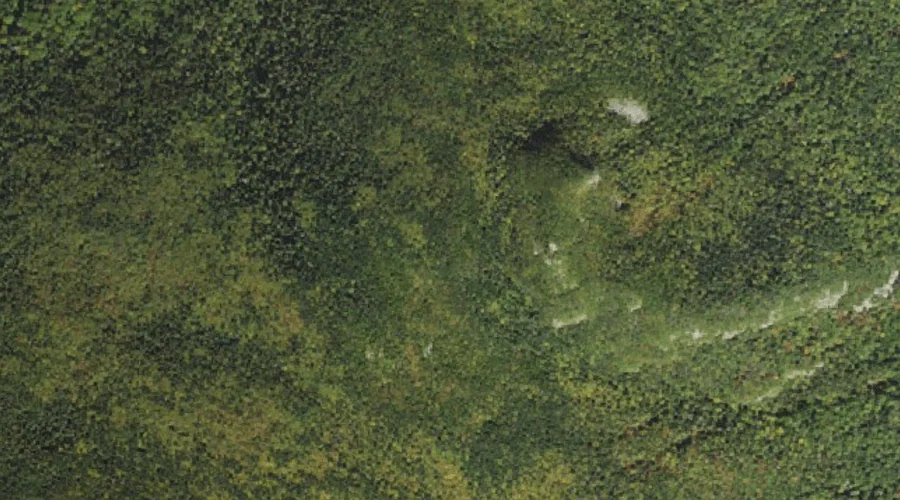
Mount Avalon — Summits 34.5 Miles WSW of Chapman Inn
Grafton County, New Hampshire · USGS Crawford Notch Quadrangle · GNIS 871418
At 3,442 feet of elevation, Mount Avalon rises above Grafton County, New Hampshire as a named summit on the USGS Crawford Notch topographic quadrangle — about 34.5 miles west-southwest of Chapman Inn in Bethel, Maine.
Wikidata short description: “mountain in United States of America”
Landmark Profile
Classification & USGS reference
Within Grafton County, New Hampshire, the U.S. Geological Survey lists Mount Avalon as a summit on the Crawford Notch topographic quadrangle (FIPS 33/009), under Feature ID 871418. Last revised by the Board on Geographic Names on 11/13/2020.
Coordinates & physical setting
Mount Avalon sits at 44.20646° N, 71.42833° W (DMS 44°12′23″ N, 71°25′42″ W).
Dimensions & elevation
- Summit elevation 3,442 ft / 1,049 m — a challenging elevation for day hikes.
Other summits in Grafton County, New Hampshire
Grafton County, NH contains 93 summits catalogued in the USGS Geographic Names Information System, counting Mount Avalon itself. The ones closest to Mount Avalon:
| Feature | USGS Quadrangle | Elevation | Distance |
|---|---|---|---|
| Mount Field | Crawford Notch | 4,327 ft | 0.8 mi |
| Mount Tom | Crawford Notch | 4,051 ft | 0.9 mi |
| Mount Willey | Crawford Notch | 4,255 ft | 1.6 mi |
| Mount Echo | Crawford Notch | — | 2.1 mi |
| Mount Stickney | Crawford Notch | — | 2.5 mi |
| Whitewall Mount | Crawford Notch | — | 2.7 mi |
| Mount Rosebrook | Crawford Notch | — | 3.3 mi |
| Mount Oscar | Mount Dartmouth | — | 4 mi |
| Mount Hale | South Twin Mountain | 4,049 ft | 4.3 mi |
| South Sugarloaf | South Twin Mountain | — | 4.6 mi |
Features on the USGS Crawford Notch Quadrangle
The Crawford Notch 7.5-minute topographic quadrangle holds 41 catalogued natural features alongside Mount Avalon. A sampling nearest to this location:
| Feature | Type | County | Offset |
|---|---|---|---|
| Mount Field | Summits | Grafton County, NH | 0.8 mi |
| Mount Willard | Summits | Carroll County, NH | 0.8 mi |
| Mount Tom | Summits | Grafton County, NH | 0.9 mi |
| Elephant Head Brook | Streams | Coos County, NH | 1.1 mi |
| Flume Cascade | Streams | Carroll County, NH | 1.2 mi |
| Rosebrook Mountains | Ridges | Grafton County, NH | 1.2 mi |
| Saco Lake | Lakes | Coos County, NH | 1.2 mi |
| Ammonoosuc Lake | Lakes | Coos County, NH | 1.2 mi |
| Elephant Head | Pillars | Carroll County, NH | 1.2 mi |
| Silver Cascade | Streams | Coos County, NH | 1.2 mi |
Ranking & rarity
- Mount Avalon is #16 of 17 summits with recorded elevation in Grafton County, New Hampshire.
- Among the 1280 summits catalogued within 80 km of Chapman Inn, Mount Avalon ranks #754 by proximity to the Inn (closer than 41%).
Historical record
Also known as: Mt. Avalon.
Mount Avalon is a 3,442-foot-high (1,049 m) mountain located in Grafton County, New Hampshire, United States. It is a small, rocky spur of Mount Field, overlooking Crawford Notch in the White Mountains. Avalon's summit is reached by a spur from the Mount Avalon Trail, which climbs to the summit of Mount Field. Extended history on Wikipedia →
Visiting from Chapman Inn
Distance, bearing & drive time
Follow the compass bearing WSW out of Bethel for 34.5 miles (west-southwest) and you reach Mount Avalon; at typical rural speeds the trip runs roughly 59 minutes.
Best time to visit
Late June through early October, when the summit is reliably snow-free. At this latitude (44.206°), the shoulder seasons are workable — April and November can be comfortable on mild years. At 34.5 miles from the Inn, block the full day — sunrise start, late return, packed meals. Conditions at Mount Avalon track the nearby Mount Field summit (0.8 mi away) closely — if that is runnable, so is this.
Nearest features to Mount Avalon
| Feature | Type | County | Distance |
|---|---|---|---|
| Mount Field | Summits | Grafton County, NH | 0.8 mi |
| Mount Willard | Summits | Carroll County, NH | 0.8 mi |
| Mount Tom | Summits | Grafton County, NH | 0.9 mi |
| Elephant Head Brook | Streams | Coos County, NH | 1.1 mi |
| Flume Cascade | Streams | Carroll County, NH | 1.2 mi |
Frequently Asked Questions
Where is Mount Avalon located?
Mount Avalon is in Grafton County, New Hampshire, approximately 34.5 miles west-southwest of Chapman Inn in Bethel, Maine. It appears on the USGS Crawford Notch topographic quadrangle.
How far is Mount Avalon from Chapman Inn?
The drive runs about 59 minutes, 34.5 miles west-southwest (bearing WSW) of the Inn.
What type of natural feature is Mount Avalon?
The U.S. Geological Survey classifies Mount Avalon as a summit, catalogued under GNIS Feature ID 871418 on the Crawford Notch quadrangle.
When is the best time to visit Mount Avalon?
Late June through early October, when the summit is reliably snow-free.
How tall is Mount Avalon?
Mount Avalon rises to 3,442 feet (1,049 metres) above sea level.
What other names has Mount Avalon been known by?
Alternate or historical names on record: Mt. Avalon.
How many other summits are in Grafton County, New Hampshire?
GNIS lists 92 other summits in Grafton County, New Hampshire.
Wikidata: Q14705355.