 Aerial imagery: USGS National Map (public domain)
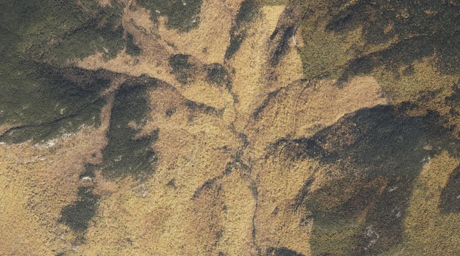
South Branch Mad River — Streams 13.5 Miles SW of Chapman Inn
Oxford County, New Hampshire · USGS Wild River Quadrangle · GNIS 581213
Within Oxford County, New Hampshire, on the USGS Wild River quadrangle, the stream known as South Branch Mad River sits 13.5 miles southwest of Chapman Inn.
Wikidata short description: “river in Maine, United States”
Landmark Profile
Classification & USGS reference
Within Oxford County, New Hampshire, the U.S. Geological Survey lists South Branch Mad River as a stream on the Wild River topographic quadrangle (FIPS 23/017), under Feature ID 581213. Last revised by the Board on Geographic Names on 05/01/2015.
Coordinates & physical setting
South Branch Mad River sits at 44.28618° N, 71.00618° W (DMS 44°17′10″ N, 71°00′22″ W).
As a linear feature its source lies near 44.29090° N, 71.02535° W (DMS 44°17′27″ N, 71°01′31″ W) — useful for anglers and paddlers tracing the upstream end.
Other streams in Oxford County, New Hampshire
Oxford County, NH contains 26 streams catalogued in the USGS Geographic Names Information System, counting South Branch Mad River itself. The ones closest to South Branch Mad River:
| Feature | USGS Quadrangle | Distance |
|---|---|---|
| Mad River | Wild River | 0.1 mi |
| Middle Branch Mad River | Wild River | 0.3 mi |
| Basin Brook | Wild River | 1.3 mi |
| Shell Pond Brook | Chatham | 2.9 mi |
| Bradley Brook | Center Lovell | 7.7 mi |
| Wild River | Gilead | 7.7 mi |
| Langdon Brook | Center Lovell | 8.9 mi |
| Little Cold River | Center Lovell | 9.4 mi |
| Province Brook | North Conway East | 12.6 mi |
| Weeks Brook | Fryeburg | 17.4 mi |
Features on the USGS Wild River Quadrangle
The Wild River 7.5-minute topographic quadrangle holds 34 catalogued natural features alongside South Branch Mad River. A sampling nearest to this location:
| Feature | Type | County | Offset |
|---|---|---|---|
| Mad River | Streams | Oxford County, NH | 0.1 mi |
| Mad River Falls | Waterfalls | Oxford County, ME | 0.2 mi |
| Middle Branch Mad River | Streams | Oxford County, NH | 0.3 mi |
| Birch Knoll | Summits | Oxford County, ME | 0.6 mi |
| Basin Brook | Streams | Oxford County, NH | 1.3 mi |
| West Royce Mountain | Summits | Coos County, NH | 1.3 mi |
| Basin Brook Reservoir | Reservoirs | Carroll County, NH | 1.4 mi |
| East Royce Mountain | Summits | Oxford County, ME | 1.5 mi |
| The Basin | Basins | Carroll County, NH | 1.6 mi |
| Bickford Brook | Streams | Oxford County, ME | 1.6 mi |
Historical record
The South Branch of the Mad River is a 1.1-mile-long (1.8 km) mountain brook on the Maine-New Hampshire border in the United States, within the eastern White Mountains. It is a tributary of the Mad River, a short feeder of the Cold River, part of the Saco River watershed. More on Wikipedia →
Visiting from Chapman Inn
Distance, bearing & drive time
Follow the compass bearing SW out of Bethel for 13.5 miles (southwest) and you reach South Branch Mad River; at typical rural speeds the trip runs roughly 23 minutes.
Best time to visit
Best observed in late spring and early summer when flow is strong and banks are visible. At this latitude (44.286°), the shoulder seasons are workable — April and November can be comfortable on mild years. At 13.5 miles from the Inn, plan on a comfortable day trip with time for lunch on the road. Conditions at South Branch Mad River track the nearby Mad River stream (essentially adjacent) closely — if that is runnable, so is this.
Nearest features to South Branch Mad River
| Feature | Type | County | Distance |
|---|---|---|---|
| Mad River | Streams | Oxford County, NH | 0.1 mi |
| Mad River Falls | Waterfalls | Oxford County, ME | 0.2 mi |
| Middle Branch Mad River | Streams | Oxford County, NH | 0.3 mi |
| Birch Knoll | Summits | Oxford County, ME | 0.6 mi |
| Sugarloaf Mountain | Summits | Oxford County, ME | 1.1 mi |
Frequently Asked Questions
Where is South Branch Mad River located?
South Branch Mad River is in Oxford County, New Hampshire, approximately 13.5 miles southwest of Chapman Inn in Bethel, Maine. It appears on the USGS Wild River topographic quadrangle.
How far is South Branch Mad River from Chapman Inn?
The drive runs about 23 minutes, 13.5 miles southwest (bearing SW) of the Inn.
What type of natural feature is South Branch Mad River?
The U.S. Geological Survey classifies South Branch Mad River as a stream, catalogued under GNIS Feature ID 581213 on the Wild River quadrangle.
When is the best time to visit South Branch Mad River?
Best observed in late spring and early summer when flow is strong and banks are visible.
How many other streams are in Oxford County, New Hampshire?
GNIS lists 25 other streams in Oxford County, New Hampshire.
Wikidata: Q7566377.