 Aerial imagery: USGS National Map (public domain)
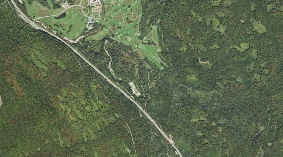
Crawford Brook — Streams 33.5 Miles WSW of Chapman Inn
Coos County, New Hampshire · USGS Crawford Notch Quadrangle · GNIS 871736
Within Coos County, New Hampshire, on the USGS Crawford Notch quadrangle, the stream known as Crawford Brook sits 33.5 miles west-southwest of Chapman Inn.
Landmark Profile
Classification & USGS reference
Within Coos County, New Hampshire, the U.S. Geological Survey lists Crawford Brook as a stream on the Crawford Notch topographic quadrangle (FIPS 33/007), under Feature ID 871736. Last revised by the Board on Geographic Names on 02/03/2021.
Coordinates & physical setting
Crawford Brook sits at 44.24711° N, 71.43052° W (DMS 44°14′50″ N, 71°25′50″ W).
As a linear feature its source lies near 44.22237° N, 71.41513° W (DMS 44°13′21″ N, 71°24′54″ W) — useful for anglers and paddlers tracing the upstream end.
Other streams in Coos County, New Hampshire
Coos County, NH contains 300 streams catalogued in the USGS Geographic Names Information System, counting Crawford Brook itself. The ones closest to Crawford Brook:
| Feature | USGS Quadrangle | Distance |
|---|---|---|
| Sebosis Brook | Mount Dartmouth | 0.6 mi |
| Dartmouth Brook | Mount Dartmouth | 0.9 mi |
| Abenaki Brook | Mount Dartmouth | 1.5 mi |
| Halfway Brook | Mount Dartmouth | 1.7 mi |
| Assaguam Brook | Mount Dartmouth | 1.7 mi |
| Gibbs Brook | Crawford Notch | 1.9 mi |
| Mount Pleasant Brook | Mount Dartmouth | 2.1 mi |
| Elephant Head Brook | Crawford Notch | 2.4 mi |
| Sokokis Brook | Mount Dartmouth | 2.5 mi |
| Deception Brook | Mount Dartmouth | 2.6 mi |
Features on the USGS Crawford Notch Quadrangle
The Crawford Notch 7.5-minute topographic quadrangle holds 41 catalogued natural features alongside Crawford Brook. A sampling nearest to this location:
| Feature | Type | County | Offset |
|---|---|---|---|
| Mount Stickney | Summits | Grafton County, NH | 1.5 mi |
| Mount Echo | Summits | Grafton County, NH | 1.6 mi |
| Ammonoosuc Lake | Lakes | Coos County, NH | 1.8 mi |
| Gibbs Brook | Streams | Coos County, NH | 1.9 mi |
| Mount Rosebrook | Summits | Grafton County, NH | 2 mi |
| Rosebrook Mountains | Ridges | Grafton County, NH | 2.1 mi |
| Saco Lake | Lakes | Coos County, NH | 2.3 mi |
| Elephant Head Brook | Streams | Coos County, NH | 2.4 mi |
| Mount Tom Brook | Streams | Grafton County, NH | 2.6 mi |
| Mount Tom | Summits | Grafton County, NH | 2.6 mi |
Visiting from Chapman Inn
Distance, bearing & drive time
Follow the compass bearing WSW out of Bethel for 33.5 miles (west-southwest) and you reach Crawford Brook; at typical rural speeds the trip runs roughly 57 minutes.
Best time to visit
Best observed in late spring and early summer when flow is strong and banks are visible. Being this far north (lat 44.247°), first snows typically arrive by mid-October and linger into early May — narrow the window accordingly. At 33.5 miles from the Inn, block the full day — sunrise start, late return, packed meals. Conditions at Crawford Brook track the nearby Sebosis Brook stream (0.6 mi away) closely — if that is runnable, so is this.
Nearest features to Crawford Brook
| Feature | Type | County | Distance |
|---|---|---|---|
| Sebosis Brook | Streams | Coos County, NH | 0.6 mi |
| Dartmouth Brook | Streams | Coos County, NH | 0.9 mi |
| Upper Falls | Waterfalls | Coos County, NH | 1.3 mi |
| Mount Stickney | Summits | Grafton County, NH | 1.5 mi |
| Abenaki Brook | Streams | Coos County, NH | 1.5 mi |
Frequently Asked Questions
Where is Crawford Brook located?
Crawford Brook is in Coos County, New Hampshire, approximately 33.5 miles west-southwest of Chapman Inn in Bethel, Maine. It appears on the USGS Crawford Notch topographic quadrangle.
How far is Crawford Brook from Chapman Inn?
The drive runs about 57 minutes, 33.5 miles west-southwest (bearing WSW) of the Inn.
What type of natural feature is Crawford Brook?
The U.S. Geological Survey classifies Crawford Brook as a stream, catalogued under GNIS Feature ID 871736 on the Crawford Notch quadrangle.
When is the best time to visit Crawford Brook?
Best observed in late spring and early summer when flow is strong and banks are visible.
How many other streams are in Coos County, New Hampshire?
GNIS lists 299 other streams in Coos County, New Hampshire.