 Aerial imagery: USGS National Map (public domain)
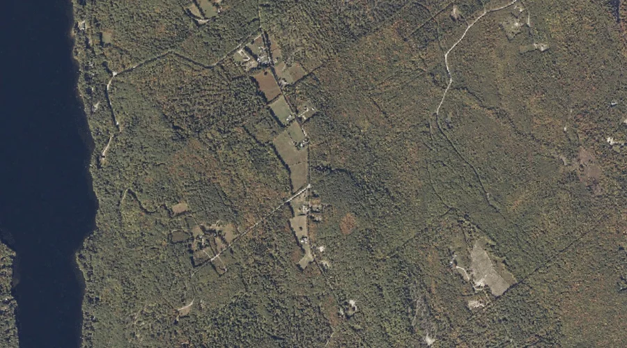
Hio Ridge — Ridges 24.9 Miles S of Chapman Inn
Cumberland County, Maine · USGS Pleasant Mountain Quadrangle · GNIS 568108
Catalogued on the USGS Pleasant Mountain quadrangle in Cumberland County, Maine, Hio Ridge — a ridge — lies 24.9 miles south of Chapman Inn.
Landmark Profile
Classification & USGS reference
Catalogued under GNIS Feature ID 568108, Hio Ridge is recorded as a ridge on the USGS Pleasant Mountain quadrangle in Cumberland County, Maine (FIPS 23/005). Last revised by the Board on Geographic Names on 07/23/2022.
Coordinates & physical setting
Hio Ridge sits at 44.04398° N, 70.77457° W (DMS 44°02′38″ N, 70°46′28″ W).
Features on the USGS Pleasant Mountain Quadrangle
The Pleasant Mountain 7.5-minute topographic quadrangle holds 25 catalogued natural features alongside Hio Ridge. A sampling nearest to this location:
| Feature | Type | County | Offset |
|---|---|---|---|
| Evans Ledge | Summits | Oxford County, ME | 1 mi |
| Beaver Pond | Lakes | Cumberland County, ME | 1.5 mi |
| Moose Pond | Reservoirs | Cumberland County, ME | 2.3 mi |
| Pleasant Mountain | Summits | Oxford County, ME | 2.6 mi |
| Ingalls Hill | Summits | Cumberland County, ME | 3.1 mi |
| Wood Island | Islands | Oxford County, ME | 3.2 mi |
| Little Mountain | Summits | Cumberland County, ME | 3.4 mi |
| Plummer Brook | Streams | Oxford County, ME | 3.5 mi |
| Green Hill | Summits | Oxford County, ME | 3.8 mi |
| Knight Hill | Summits | Cumberland County, ME | 4.1 mi |
Visiting from Chapman Inn
Distance, bearing & drive time
A 43-minute drive along back roads separates the front door of Chapman Inn from Hio Ridge — 24.9 miles south as the crow flies, on compass bearing S.
Best time to visit
Accessible May through November in most years. At this latitude (44.044°), the shoulder seasons are workable — April and November can be comfortable on mild years. At 24.9 miles from the Inn, plan on a comfortable day trip with time for lunch on the road. Conditions at Hio Ridge track the nearby Evans Ledge summit (1.0 mi away) closely — if that is runnable, so is this.
Nearest features to Hio Ridge
| Feature | Type | County | Distance |
|---|---|---|---|
| Evans Ledge | Summits | Oxford County, ME | 1 mi |
| Beaver Pond | Lakes | Cumberland County, ME | 1.5 mi |
| Woods Pond | Reservoirs | Cumberland County, ME | 2.1 mi |
| Moose Pond | Reservoirs | Cumberland County, ME | 2.3 mi |
| Pleasant Mountain | Summits | Oxford County, ME | 2.6 mi |
Frequently Asked Questions
Where is Hio Ridge located?
Hio Ridge is in Cumberland County, Maine, approximately 24.9 miles south of Chapman Inn in Bethel, Maine. It appears on the USGS Pleasant Mountain topographic quadrangle.
How far is Hio Ridge from Chapman Inn?
The drive runs about 43 minutes, 24.9 miles south (bearing S) of the Inn.
What type of natural feature is Hio Ridge?
The U.S. Geological Survey classifies Hio Ridge as a ridge, catalogued under GNIS Feature ID 568108 on the Pleasant Mountain quadrangle.
When is the best time to visit Hio Ridge?
Accessible May through November in most years.