 Aerial imagery: USGS National Map (public domain)
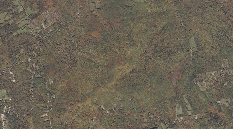
Spruce Hills — Ranges 16.4 Miles ESE of Chapman Inn
Oxford County, Maine · USGS West Sumner Quadrangle · GNIS 576135
One of only 11 ranges catalogued within the 80 km reach of Chapman Inn, Spruce Hills lies on the USGS West Sumner quadrangle in Oxford County, Maine — 16.4 miles east-southeast of the Inn.
Landmark Profile
Classification & USGS reference
The USGS West Sumner 7.5-minute topographic quadrangle places Spruce Hills in Oxford County, Maine (FIPS 23/017), classified as a mountain range in the federal GNIS (Feature ID 576135). Last revised by the Board on Geographic Names on 08/06/2022.
Coordinates & physical setting
Spruce Hills sits at 44.33586° N, 70.47174° W (DMS 44°20′09″ N, 70°28′18″ W).
Features on the USGS West Sumner Quadrangle
The West Sumner 7.5-minute topographic quadrangle holds 27 catalogued natural features alongside Spruce Hills. A sampling nearest to this location:
| Feature | Type | County | Offset |
|---|---|---|---|
| Mount Tom | Summits | Oxford County, ME | 0 mi |
| The Pinnacle | Summits | Oxford County, ME | 1 mi |
| Ryemoor Hill | Summits | Oxford County, ME | 1.2 mi |
| Damon Hill | Summits | Oxford County, ME | 1.4 mi |
| Hammond Ledge | Summits | Oxford County, ME | 1.8 mi |
| Pleasant Pond | Lakes | Oxford County, ME | 2.3 mi |
| Heath Hill | Summits | Oxford County, ME | 2.6 mi |
| Cushman Hill | Summits | Oxford County, ME | 2.7 mi |
| Parsonage Hill | Summits | Oxford County, ME | 2.7 mi |
| Ryerson Hill | Summits | Oxford County, ME | 3.1 mi |
Ranking & rarity
- Among the 11 ranges catalogued within 80 km of Chapman Inn, Spruce Hills ranks #2 by proximity to the Inn (closer than 82%).
- This is one of only 11 ranges catalogued within Chapman Inn’s 80 km reach — a rare classification in the local landscape.
Visiting from Chapman Inn
Distance, bearing & drive time
Chapman Inn sits 16.4 miles east-southeast (bearing ESE) of Spruce Hills. At moderate back-road speeds the drive runs about 28 minutes — comfortably inside a half-day outing window after breakfast.
Best time to visit
Accessible May through November in most years. At this latitude (44.336°), the shoulder seasons are workable — April and November can be comfortable on mild years. At 16.4 miles from the Inn, plan on a comfortable day trip with time for lunch on the road. Conditions at Spruce Hills track the nearby Mount Tom summit (essentially adjacent) closely — if that is runnable, so is this.
Nearest features to Spruce Hills
| Feature | Type | County | Distance |
|---|---|---|---|
| Mount Tom | Summits | Oxford County, ME | 0 mi |
| The Pinnacle | Summits | Oxford County, ME | 1 mi |
| Ryemoor Hill | Summits | Oxford County, ME | 1.2 mi |
| Damon Hill | Summits | Oxford County, ME | 1.4 mi |
| Hammond Ledge | Summits | Oxford County, ME | 1.8 mi |
Frequently Asked Questions
Where is Spruce Hills located?
Spruce Hills is in Oxford County, Maine, approximately 16.4 miles east-southeast of Chapman Inn in Bethel, Maine. It appears on the USGS West Sumner topographic quadrangle.
How far is Spruce Hills from Chapman Inn?
The drive runs about 28 minutes, 16.4 miles east-southeast (bearing ESE) of the Inn.
What type of natural feature is Spruce Hills?
The U.S. Geological Survey classifies Spruce Hills as a mountain range, catalogued under GNIS Feature ID 576135 on the West Sumner quadrangle.
When is the best time to visit Spruce Hills?
Accessible May through November in most years.
How rare is ranges as a classification near Chapman Inn?
Only 11 ranges are catalogued within the 80 km radius of the Inn — a comparatively rare classification.