 Aerial imagery: USGS National Map (public domain)
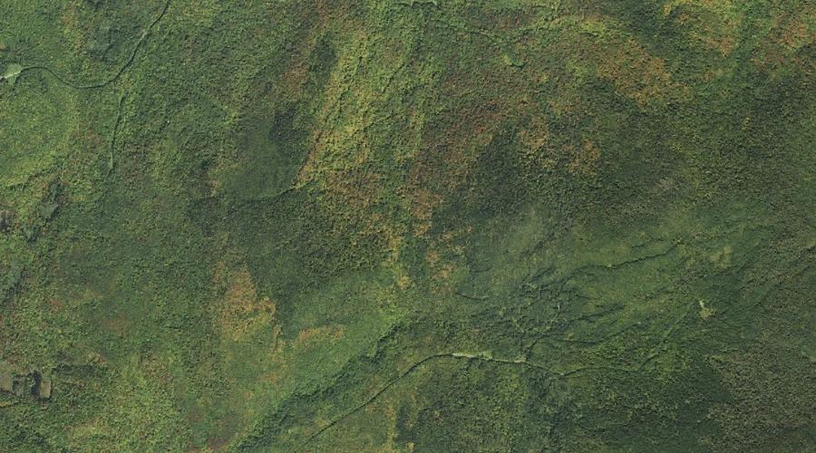
Moran Notch — Gaps 40.7 Miles NW of Chapman Inn
Coos County, New Hampshire · USGS Bunnell Mountain Quadrangle · GNIS 868557
40.7 miles northwest of Chapman Inn, on the USGS Bunnell Mountain topographic quadrangle, Moran Notch is a mountain gap recorded in Coos County, New Hampshire by the federal Geographic Names Information System.
Landmark Profile
Classification & USGS reference
The USGS Bunnell Mountain 7.5-minute topographic quadrangle places Moran Notch in Coos County, New Hampshire (FIPS 33/007), classified as a mountain gap in the federal GNIS (Feature ID 868557). Catalogued in GNIS since 08/27/1980.
Coordinates & physical setting
Moran Notch sits at 44.79672° N, 71.40564° W (DMS 44°47′48″ N, 71°24′20″ W).
Other gaps in Coos County, New Hampshire
Coos County, NH contains 20 gaps catalogued in the USGS Geographic Names Information System, counting Moran Notch itself. The ones closest to Moran Notch:
| Feature | USGS Quadrangle | Distance |
|---|---|---|
| Gadwah Notch | Bunnell Mountain | 1 mi |
| Cranberry Bog Notch | Bunnell Mountain | 1.3 mi |
| Gore Notch | Bunnell Mountain | 3 mi |
| Kelsey Notch | Dixville Notch | 3.6 mi |
| Cleveland Notch | Bunnell Mountain | 4.1 mi |
| Cree Notch | Tinkerville | 5.6 mi |
| Stratford Notch | Stratford | 6.2 mi |
| Bunnell Notch | Jefferson | 20.9 mi |
| Willard Notch | Jefferson | 22.4 mi |
| Hunters Pass | Mount Crescent | 26.7 mi |
Features on the USGS Bunnell Mountain Quadrangle
The Bunnell Mountain 7.5-minute topographic quadrangle holds 30 catalogued natural features alongside Moran Notch. A sampling nearest to this location:
| Feature | Type | County | Offset |
|---|---|---|---|
| Gadwah Notch | Gaps | Coos County, NH | 1 mi |
| Cranberry Bog Notch | Gaps | Coos County, NH | 1.3 mi |
| Moran Brook | Streams | Coos County, NH | 1.3 mi |
| Cranberry Bog Pond | Lakes | Coos County, NH | 1.3 mi |
| Muise Mountain | Summits | Coos County, NH | 1.6 mi |
| Bog Brook | Streams | Coos County, NH | 1.9 mi |
| Columbia Brook | Streams | Coos County, NH | 2.1 mi |
| Uran Brook | Streams | Coos County, NH | 2.3 mi |
| Pike Brook | Streams | Coos County, NH | 2.5 mi |
| Johnson Brook | Streams | Coos County, NH | 2.9 mi |
Visiting from Chapman Inn
Distance, bearing & drive time
Chapman Inn sits 40.7 miles northwest (bearing NW) of Moran Notch. At moderate back-road speeds the drive runs about 70 minutes — comfortably inside a half-day outing window after breakfast.
Best time to visit
Late May through October; avoid black-fly peak in late May. Being this far north (lat 44.797°), first snows typically arrive by mid-October and linger into early May — narrow the window accordingly. At 40.7 miles from the Inn, block the full day — sunrise start, late return, packed meals. Conditions at Moran Notch track the nearby Gadwah Notch mountain gap (1.0 mi away) closely — if that is runnable, so is this.
Nearest features to Moran Notch
| Feature | Type | County | Distance |
|---|---|---|---|
| Gadwah Notch | Gaps | Coos County, NH | 1 mi |
| Cranberry Bog Notch | Gaps | Coos County, NH | 1.3 mi |
| Moran Brook | Streams | Coos County, NH | 1.3 mi |
| Cranberry Bog Pond | Lakes | Coos County, NH | 1.3 mi |
| Muise Mountain | Summits | Coos County, NH | 1.6 mi |
Frequently Asked Questions
Where is Moran Notch located?
Moran Notch is in Coos County, New Hampshire, approximately 40.7 miles northwest of Chapman Inn in Bethel, Maine. It appears on the USGS Bunnell Mountain topographic quadrangle.
How far is Moran Notch from Chapman Inn?
The drive runs about 70 minutes, 40.7 miles northwest (bearing NW) of the Inn.
What type of natural feature is Moran Notch?
The U.S. Geological Survey classifies Moran Notch as a mountain gap, catalogued under GNIS Feature ID 868557 on the Bunnell Mountain quadrangle.
When is the best time to visit Moran Notch?
Late May through October; avoid black-fly peak in late May.
How many other gaps are in Coos County, New Hampshire?
GNIS lists 19 other gaps in Coos County, New Hampshire.