Stoddard Pond is a reservoir in Sagadahoc County, Maine, located about 49.6 miles east-southeast of Chapman Inn in Bethel, Maine. It appears on the USGS Bowdoinham topographic quadrangle.
Ring Hill is a summit in Sagadahoc County, Maine, located about 49.4 miles east-southeast of Chapman Inn in Bethel, Maine. It appears on the USGS Gardiner topographic quadrangle.
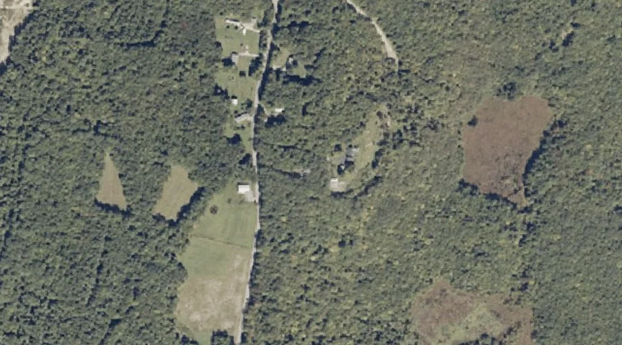
Bradley Pond is a lake in Sagadahoc County, Maine, located about 49.5 miles southeast of Chapman Inn in Bethel, Maine. It appears on the USGS Brunswick topographic quadrangle.
West Cathance Stream is a stream in Sagadahoc County, Maine, located about 49.2 miles southeast of Chapman Inn in Bethel, Maine. It appears on the USGS Bowdoinham topographic…
East Cathance Stream is a stream in Sagadahoc County, Maine, located about 49.2 miles southeast of Chapman Inn in Bethel, Maine. It appears on the USGS Bowdoinham topographic…
Androscoggin River Reservoir is a reservoir in Sagadahoc County, Maine, located about 48.9 miles southeast of Chapman Inn in Bethel, Maine. It appears on the USGS Lisbon Falls…
Wheeler Hill is a summit in Sagadahoc County, Maine, located about 48.8 miles east-southeast of Chapman Inn in Bethel, Maine. It appears on the USGS Bowdoinham topographic quadrangle.
Pleasant Pond is a lake in Sagadahoc County, Maine, located about 48.7 miles east-southeast of Chapman Inn in Bethel, Maine. It appears on the USGS Gardiner topographic quadrangle.
Magotty Meadow Brook is a stream in Sagadahoc County, Maine, located about 48.6 miles east-southeast of Chapman Inn in Bethel, Maine. It appears on the USGS Bowdoinham topographic…
Tate Hill is a summit in Sagadahoc County, Maine, located about 48.5 miles southeast of Chapman Inn in Bethel, Maine. It appears on the USGS Brunswick topographic quadrangle.