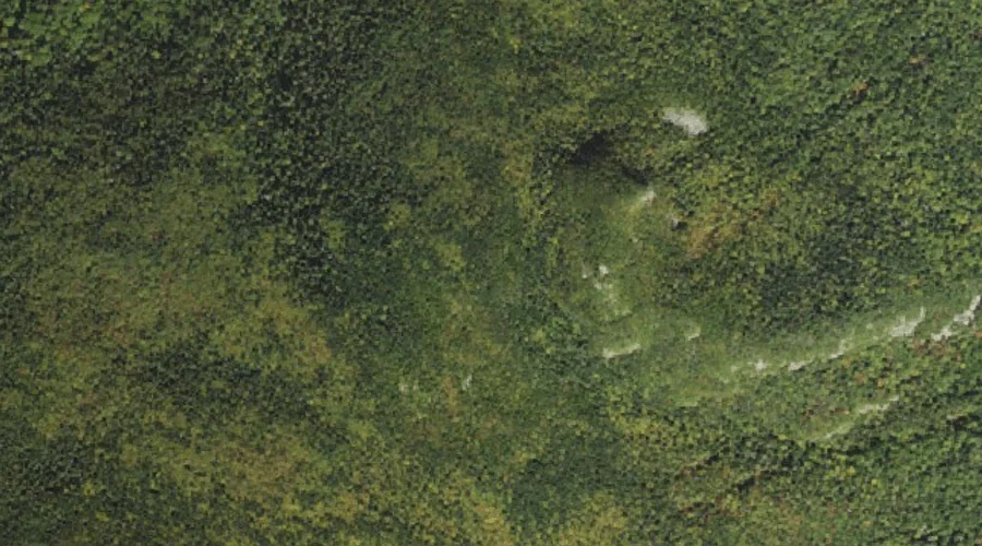
Mount Lowell is a summit in Grafton County, New Hampshire, located about 37.4 miles west-southwest of Chapman Inn in Bethel, Maine. It appears on the USGS Mount Carrigain…
North Sugarloaf is a summit in Grafton County, New Hampshire, located about 37.4 miles west-southwest of Chapman Inn in Bethel, Maine. It appears on the USGS Twin Mountain…
Zealand Falls is a waterfall in Grafton County, New Hampshire, located about 37.5 miles west-southwest of Chapman Inn in Bethel, Maine. It appears on the USGS Crawford Notch…
South Sugarloaf is a summit in Grafton County, New Hampshire, located about 37.5 miles west-southwest of Chapman Inn in Bethel, Maine. It appears on the USGS South Twin…
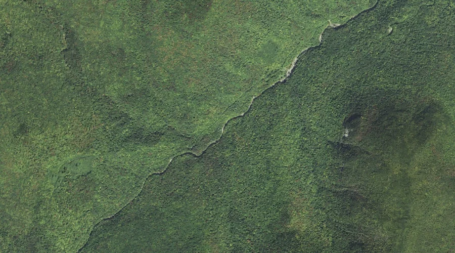
Whiteface Brook is a stream in Grafton County, New Hampshire, located about 37.3 miles southwest of Chapman Inn in Bethel, Maine. It appears on the USGS Mount Carrigain…
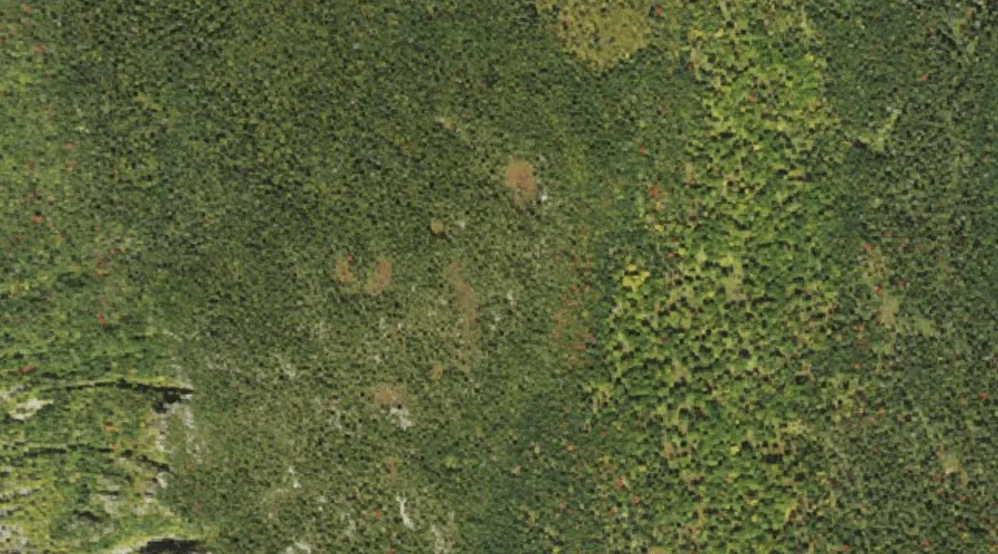
Whitewall Mount is a summit in Grafton County, New Hampshire, located about 37.1 miles west-southwest of Chapman Inn in Bethel, Maine. It appears on the USGS Crawford Notch…
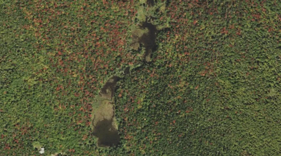
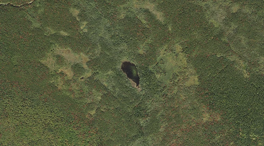
Shoal Pond is a lake in Grafton County, New Hampshire, located about 37.0 miles west-southwest of Chapman Inn in Bethel, Maine. It appears on the USGS Crawford Notch…
Mount Anderson is a summit in Grafton County, New Hampshire, located about 37.1 miles west-southwest of Chapman Inn in Bethel, Maine. It appears on the USGS Mount Carrigain…
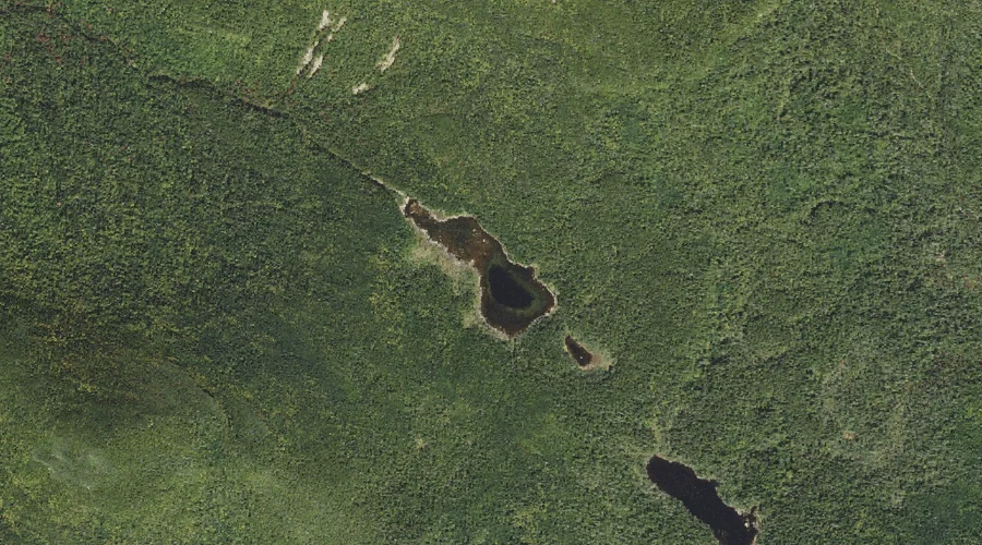
Norcross Pond is a lake in Grafton County, New Hampshire, located about 36.5 miles west-southwest of Chapman Inn in Bethel, Maine. It appears on the USGS Mount Carrigain…
Duck Pond Mountain is a summit in Grafton County, New Hampshire, located about 36.4 miles southwest of Chapman Inn in Bethel, Maine. It appears on the USGS Mount…