Middle Brook Bog is a swamp in Oxford County, Maine, located about 26.8 miles south-southeast of Chapman Inn in Bethel, Maine. It appears on the USGS Casco topographic…
Coon Road Swamp is a swamp in Oxford County, Maine, located about 25.7 miles south-southeast of Chapman Inn in Bethel, Maine. It appears on the USGS Casco topographic…
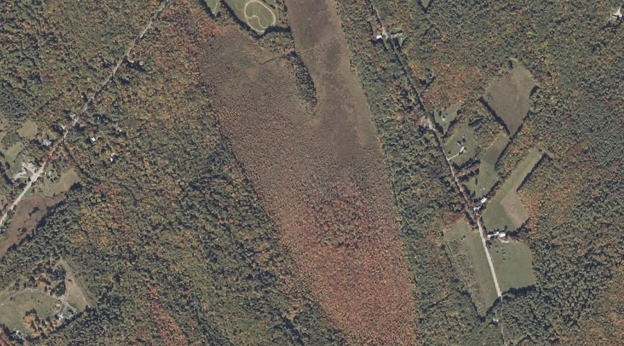
College Swamp is a swamp in Oxford County, Maine, located about 24.9 miles south-southeast of Chapman Inn in Bethel, Maine. It appears on the USGS Casco topographic quadrangle.
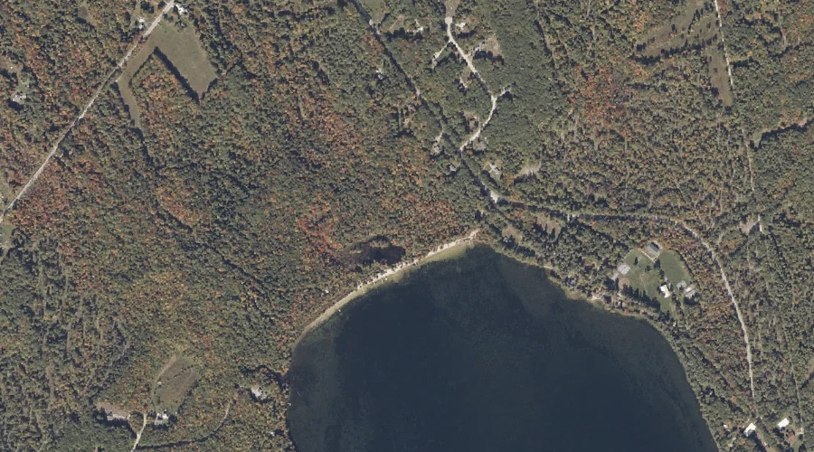
Beaver Pond is a swamp in Oxford County, Maine, located about 23.2 miles east-northeast of Chapman Inn in Bethel, Maine. It appears on the USGS East Dixfield topographic…
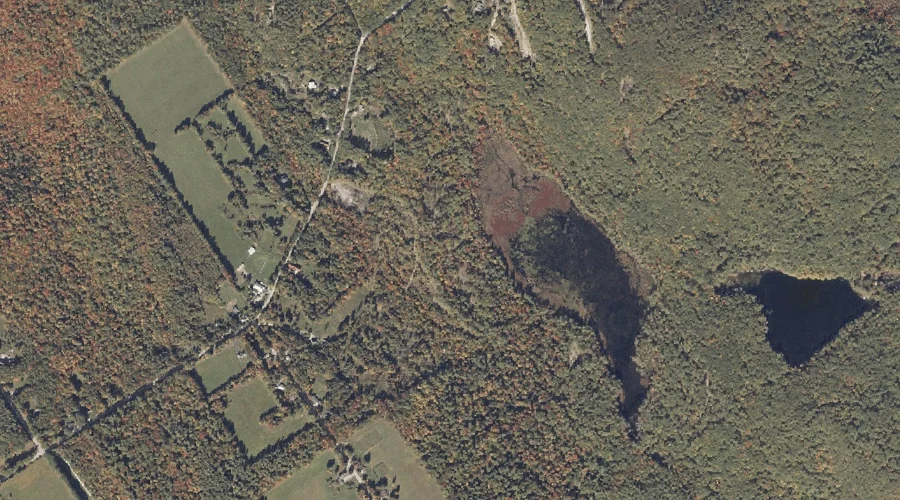
Harlan Swamp is a swamp in Oxford County, Maine, located about 22.8 miles south-southeast of Chapman Inn in Bethel, Maine. It appears on the USGS Casco topographic quadrangle.
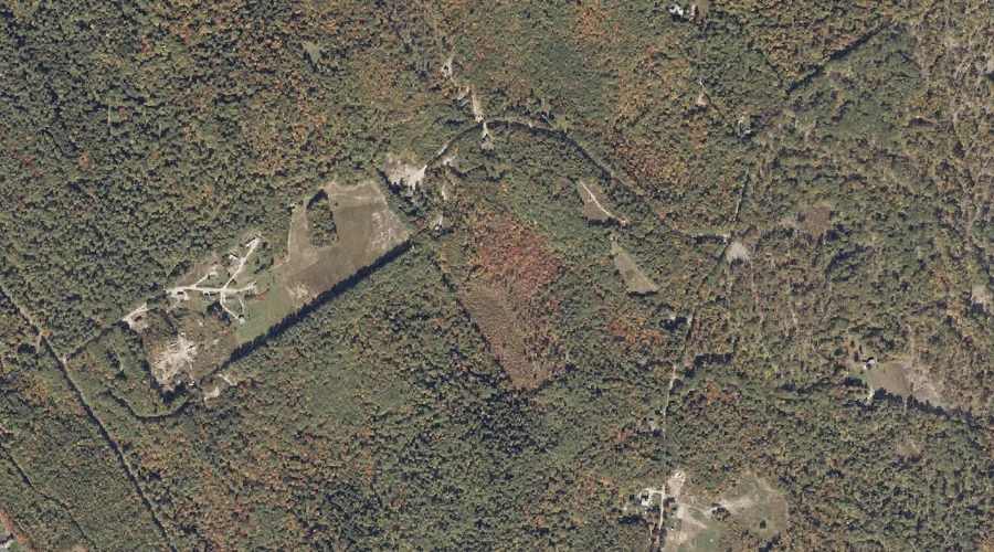
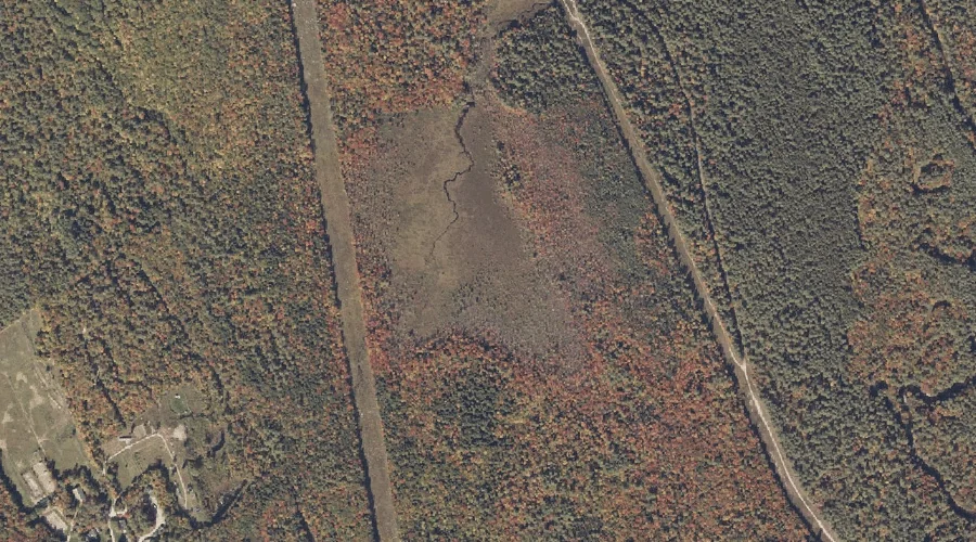
Bearce Bog is a swamp in Oxford County, Maine, located about 21.8 miles south-southeast of Chapman Inn in Bethel, Maine. It appears on the USGS Norway topographic quadrangle.
Biglow Swamp is a swamp in Cumberland County, Maine, located about 21.6 miles south-southeast of Chapman Inn in Bethel, Maine. It appears on the USGS Casco topographic quadrangle.
Swimming Bog is a swamp in Oxford County, Maine, located about 21.6 miles south-southwest of Chapman Inn in Bethel, Maine. It appears on the USGS Fryeburg topographic quadrangle.
Baker Bog is a swamp in Oxford County, Maine, located about 17.9 miles south-southeast of Chapman Inn in Bethel, Maine. It appears on the USGS Waterford Flat topographic…
Santiago Bog is a swamp in Oxford County, Maine, located about 17.7 miles north of Chapman Inn in Bethel, Maine. It appears on the USGS Ellis Pond topographic…