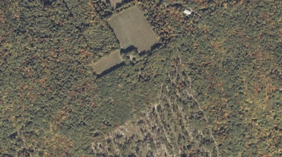
Mount Forest is a summit in Coos County, New Hampshire, located about 20.8 miles west-northwest of Chapman Inn in Bethel, Maine. It appears on the USGS Berlin topographic…
Durrell Hill is a summit in Oxford County, Maine, located about 20.1 miles southeast of Chapman Inn in Bethel, Maine. It appears on the USGS Oxford topographic quadrangle.
Pickett Hill is a summit in Oxford County, Maine, located about 20.1 miles south of Chapman Inn in Bethel, Maine. It appears on the USGS Pleasant Mountain topographic…
Chickwolnepy Mountain is a summit in Coos County, New Hampshire, located about 20.1 miles northwest of Chapman Inn in Bethel, Maine. It appears on the USGS Success Pond…
Bunker Mountain is a summit in Oxford County, Maine, located about 20.2 miles north-northeast of Chapman Inn in Bethel, Maine. It appears on the USGS Roxbury topographic quadrangle.
Sugarloaf is a summit in Oxford County, Maine, located about 20.2 miles east-northeast of Chapman Inn in Bethel, Maine. It appears on the USGS Dixfield topographic quadrangle.
Brett Hill is a summit in Oxford County, Maine, located about 20.2 miles south-southeast of Chapman Inn in Bethel, Maine. It appears on the USGS Norway topographic quadrangle.
Oak Hill is a summit in Coos County, New Hampshire, located about 20.4 miles west-northwest of Chapman Inn in Bethel, Maine. It appears on the USGS Milan topographic…
Lovejoy Hill is a summit in Oxford County, Maine, located about 20.5 miles southeast of Chapman Inn in Bethel, Maine. It appears on the USGS Norway topographic quadrangle.
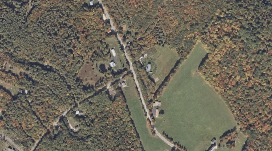
Downs Hill is a summit in Oxford County, Maine, located about 20.1 miles east-southeast of Chapman Inn in Bethel, Maine. It appears on the USGS West Sumner topographic…