Mount Dartmouth is a summit in Coos County, New Hampshire, located about 30.2 miles west-southwest of Chapman Inn in Bethel, Maine. It appears on the USGS Mount Dartmouth…
Marstons Hill is a summit in Androscoggin County, Maine, located about 30.3 miles southeast of Chapman Inn in Bethel, Maine. It appears on the USGS Lake Auburn West…
Megquier Hill is a summit in Androscoggin County, Maine, located about 30.3 miles southeast of Chapman Inn in Bethel, Maine. It appears on the USGS Mechanic Falls topographic…
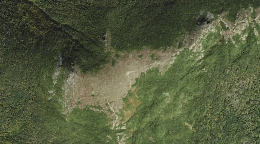
Mount Eisenhower is a summit in Coos County, New Hampshire, located about 30.0 miles west-southwest of Chapman Inn in Bethel, Maine. It appears on the USGS Stairs Mountain…
Fitch Hill is a summit in Cumberland County, Maine, located about 30.0 miles south of Chapman Inn in Bethel, Maine. It appears on the USGS North Sebago topographic…
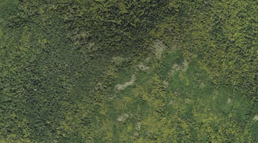
Rogers Ledge is a summit in Coos County, New Hampshire, located about 30.0 miles west-northwest of Chapman Inn in Bethel, Maine. It appears on the USGS West Milan…
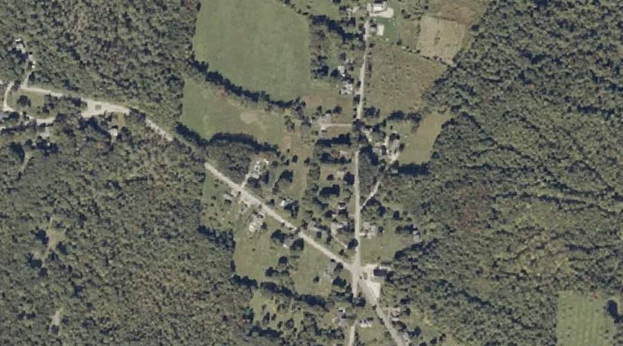
Macomber Hill is a summit in Franklin County, Maine, located about 30.1 miles east-northeast of Chapman Inn in Bethel, Maine. It appears on the USGS Wilton topographic quadrangle.
Skid Hill is a summit in Cumberland County, Maine, located about 30.1 miles south-southeast of Chapman Inn in Bethel, Maine. It appears on the USGS North Sebago topographic…
Pliny Mountain is a summit in Coos County, New Hampshire, located about 29.8 miles west of Chapman Inn in Bethel, Maine. It appears on the USGS Jefferson topographic…
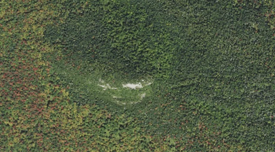
Gleason Mountain is a summit in Franklin County, Maine, located about 29.8 miles northeast of Chapman Inn in Bethel, Maine. It appears on the USGS Mount Blue topographic…