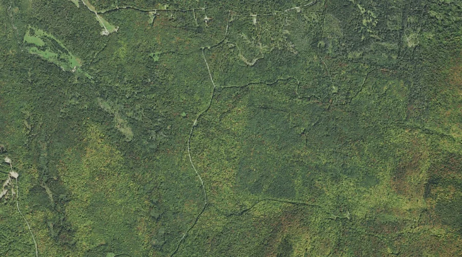
Moran Brook is a stream in Coos County, New Hampshire, located about 41.8 miles northwest of Chapman Inn in Bethel, Maine. It appears on the USGS Bunnell Mountain…
East Branch Stratford Bog Brook is a stream in Coos County, New Hampshire, located about 41.9 miles west-northwest of Chapman Inn in Bethel, Maine. It appears on the…
Kamankeag Brook is a stream in Oxford County, Maine, located about 41.9 miles north of Chapman Inn in Bethel, Maine. It appears on the USGS Kennebago topographic quadrangle.
Claybank Brook is a stream in Carroll County, New Hampshire, located about 41.9 miles southwest of Chapman Inn in Bethel, Maine. It appears on the USGS Mount Chocorua…
Wedgwood Brook is a stream in York County, Maine, located about 41.6 miles south of Chapman Inn in Bethel, Maine. It appears on the USGS Cornish topographic quadrangle.
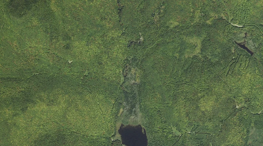
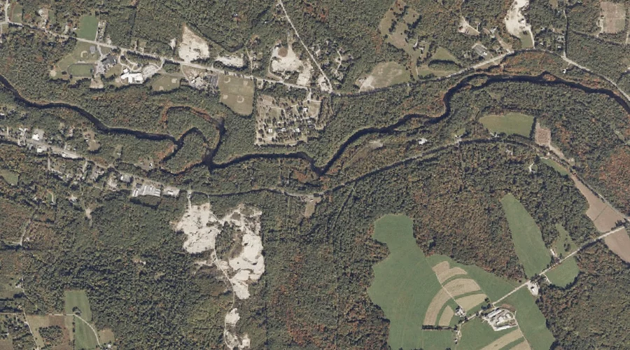
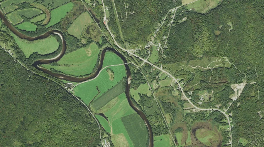
Bog Brook is a stream in Coos County, New Hampshire, located about 41.7 miles west-northwest of Chapman Inn in Bethel, Maine. It appears on the USGS Stratford topographic…
Moose Brook is a stream in Coos County, New Hampshire, located about 41.7 miles northwest of Chapman Inn in Bethel, Maine. It appears on the USGS Dixville Notch…
Pine Bend Brook is a stream in Grafton County, New Hampshire, located about 41.7 miles southwest of Chapman Inn in Bethel, Maine. It appears on the USGS Mount…
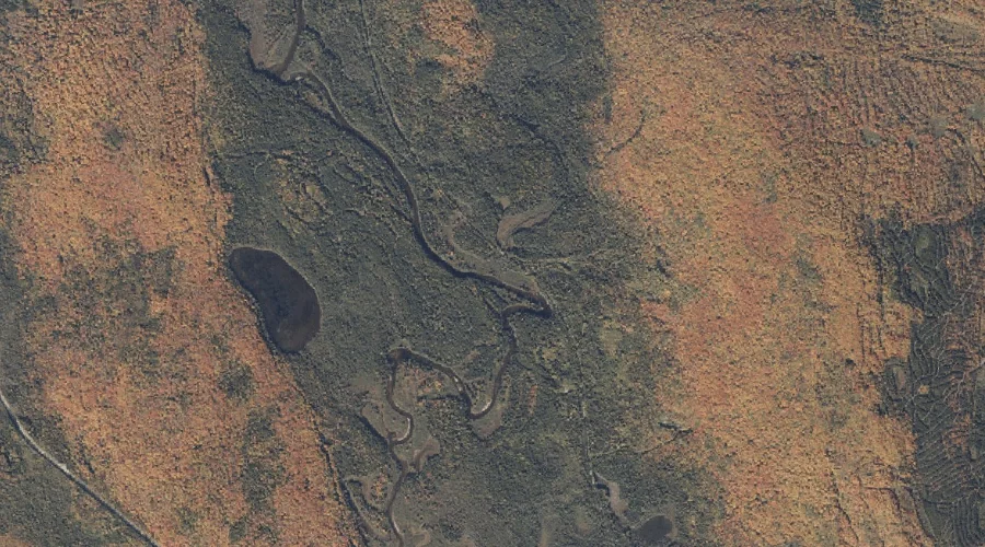
Stratford Bog Brook is a stream in Coos County, New Hampshire, located about 41.7 miles west-northwest of Chapman Inn in Bethel, Maine. It appears on the USGS Stratford…
No Name Brook is a stream in Androscoggin County, Maine, located about 41.6 miles southeast of Chapman Inn in Bethel, Maine. It appears on the USGS Lisbon Falls…