 Aerial imagery: USGS National Map (public domain)
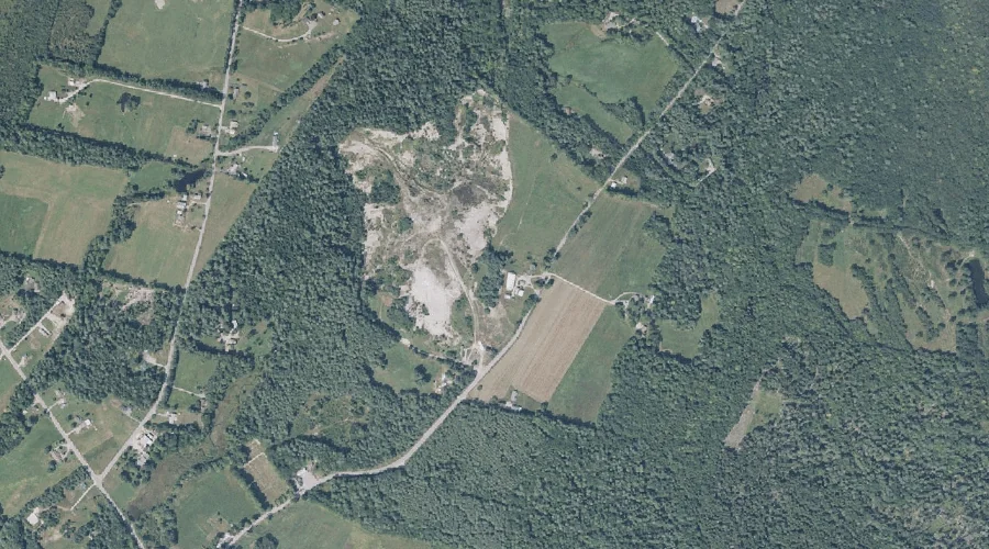
Kettlebottom — Basins 45.3 Miles ESE of Chapman Inn
Sagadahoc County, Maine · USGS Lisbon Falls North Quadrangle · GNIS 569136
One of only 11 basins catalogued within the 80 km reach of Chapman Inn, Kettlebottom lies on the USGS Lisbon Falls North quadrangle in Sagadahoc County, Maine — 45.3 miles east-southeast of the Inn.
Landmark Profile
Classification & USGS reference
The USGS Lisbon Falls North 7.5-minute topographic quadrangle places Kettlebottom in Sagadahoc County, Maine (FIPS 23/023), classified as a basin in the federal GNIS (Feature ID 569136). Catalogued in GNIS since 09/30/1980.
Coordinates & physical setting
Kettlebottom sits at 44.05369° N, 70.01589° W (DMS 44°03′13″ N, 70°00′57″ W).
Features on the USGS Lisbon Falls North Quadrangle
The Lisbon Falls North 7.5-minute topographic quadrangle holds 23 catalogued natural features alongside Kettlebottom. A sampling nearest to this location:
| Feature | Type | County | Offset |
|---|---|---|---|
| Purington Brook | Streams | Sagadahoc County, ME | 0.9 mi |
| Fisher Stream | Streams | Androscoggin County, ME | 0.9 mi |
| Little Gillespie Brook | Streams | Sagadahoc County, ME | 2.3 mi |
| Dearing Brook | Streams | Androscoggin County, ME | 2.7 mi |
| Lisbon Ridge | Ridges | Androscoggin County, ME | 3 mi |
| Whitten Hill | Summits | Sagadahoc County, ME | 3.4 mi |
| Agri Bog | Swamps | Androscoggin County, ME | 3.6 mi |
| Sutherland Pond | Lakes | Androscoggin County, ME | 3.6 mi |
| Loon Pond | Lakes | Androscoggin County, ME | 3.9 mi |
| Curtis Bog | Lakes | Androscoggin County, ME | 4.2 mi |
Ranking & rarity
- Among the 11 basins catalogued within 80 km of Chapman Inn, Kettlebottom ranks #7 by proximity to the Inn (closer than 36%).
- This is one of only 11 basins catalogued within Chapman Inn’s 80 km reach — a rare classification in the local landscape.
Visiting from Chapman Inn
Distance, bearing & drive time
Chapman Inn sits 45.3 miles east-southeast (bearing ESE) of Kettlebottom. At moderate back-road speeds the drive runs about 78 minutes — comfortably inside a half-day outing window after breakfast.
Best time to visit
Late May through October; avoid black-fly peak in late May. At this latitude (44.054°), the shoulder seasons are workable — April and November can be comfortable on mild years. At 45.3 miles from the Inn, block the full day — sunrise start, late return, packed meals. Conditions at Kettlebottom track the nearby Purington Brook stream (0.9 mi away) closely — if that is runnable, so is this.
Nearest features to Kettlebottom
| Feature | Type | County | Distance |
|---|---|---|---|
| Purington Brook | Streams | Sagadahoc County, ME | 0.9 mi |
| Fisher Stream | Streams | Androscoggin County, ME | 0.9 mi |
| Caesar Pond | Lakes | Sagadahoc County, ME | 1.7 mi |
| Little Gillespie Brook | Streams | Sagadahoc County, ME | 2.3 mi |
| Dearing Brook | Streams | Androscoggin County, ME | 2.7 mi |
Frequently Asked Questions
Where is Kettlebottom located?
Kettlebottom is in Sagadahoc County, Maine, approximately 45.3 miles east-southeast of Chapman Inn in Bethel, Maine. It appears on the USGS Lisbon Falls North topographic quadrangle.
How far is Kettlebottom from Chapman Inn?
The drive runs about 78 minutes, 45.3 miles east-southeast (bearing ESE) of the Inn.
What type of natural feature is Kettlebottom?
The U.S. Geological Survey classifies Kettlebottom as a basin, catalogued under GNIS Feature ID 569136 on the Lisbon Falls North quadrangle.
When is the best time to visit Kettlebottom?
Late May through October; avoid black-fly peak in late May.
How rare is basins as a classification near Chapman Inn?
Only 11 basins are catalogued within the 80 km radius of the Inn — a comparatively rare classification.
Wikidata: Q49337512.